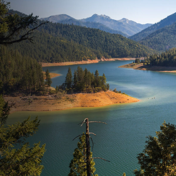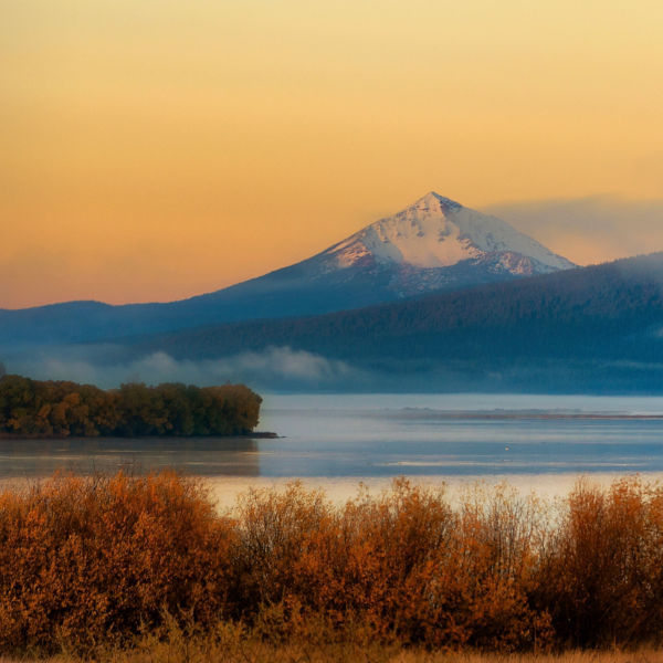
Caldera lake in Crater Lake National Park, Oregon, USA

The Best Cross-Country Skiing Near Medford

Learn why southern Oregon is one of the best places in the country to Nordic ski.

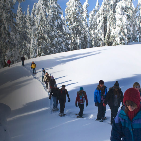
Nordic skiing (aka cross-country skiing) is an act of winter meditation. Unlike other, more adrenaline-centered sports, Nordic is all about settling into a glide, finding your rhythm, and experiencing the quietude of winter on your own terms.

But that’s not the only reason Nordic skiing has experienced a bit of a comeback over the past few years. It’s also easy to learn, great exercise, and less gear-intensive than other winter sports. If you live in southern Oregon, there’s even more good news: Thanks to plentiful snowfall and vast stretches of rolling terrain, this region is one of the best in the country to learn how to Nordic ski.

Here are six of the area’s most-favored trails to help you get started.  

Buck Prairie Winter Trails

Buck Prairie Sno-Park is the starting line for some of the most adventurous Nordic ski routes in the Medford area. Case in point: the Table Mountain Trail. Usually at least partially groomed, this 10.6-mile out-and-back takes you to the northernmost tip of Hyatt Reservoir and tackles about 1,500 feet of total gain. If you’re looking for a less-committing route, try the classic Natasha’s Web Trail, a groomed 4.4-mile lollipop loop that traces mellower terrain through a meadow south of the parking lot.

Maps and more info: blm.gov

Crater Lake National Park

Every winter, Crater Lake National Park closes to vehicle traffic—leaving its 33-mile Rim Road open to cross-country skiers. You can camp along the way and do the whole loop in two or three days (backcountry permit required), or just do a section. At 11.4 miles, the ski route south from Rim Village to Vidae Falls makes a particularly good day-trip. Or, if you have less time, head north from Rim Village to Discovery Point, an easier 2.3-mile option.

Word to the wise: While snowmobile traffic and other users sometimes leave the Rim Road packed down, it isn’t officially groomed. Be prepared to break trail if you visit after a snowstorm.

Maps and more info: nps.gov

A close up of a person cross country skiing

Lollipop Loop

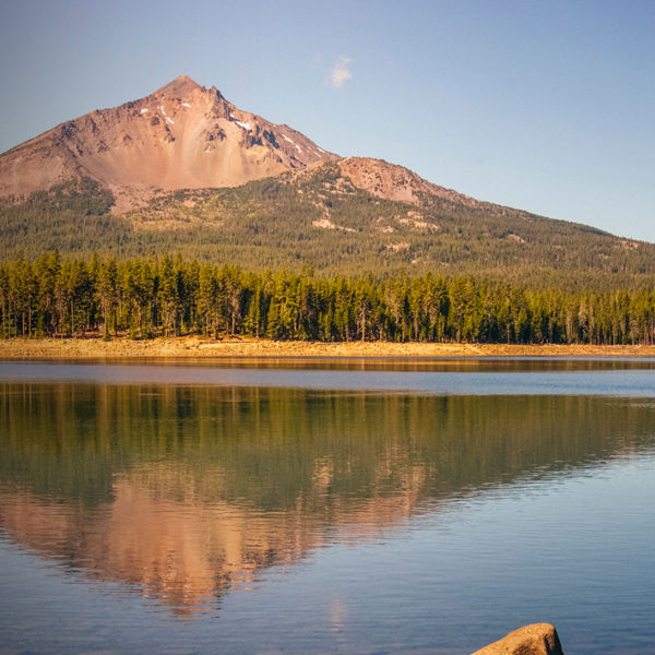
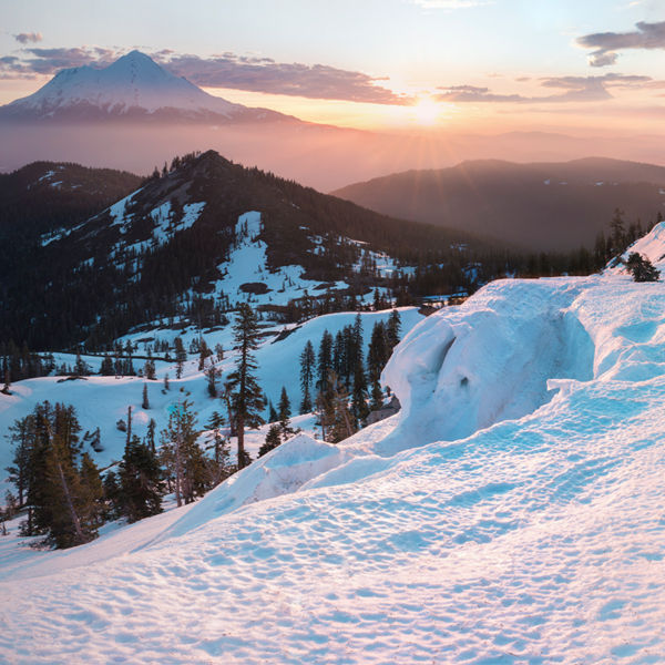
Catch views of snow-draped Mount McLoughlin from Fish Lake’s rolling winter trail system. Most of the trails are groomed and well-marked, making them ideal for beginners. For a great 6.8-mile loop, start at the Sno-Park and head east to pick up the Lollipop Trail. After you pass Fish Lake Resort, the trail veers south, where you’ll pass through a gate at your 1-mile mark. Take your first left after the gate to pick up the rest of the Lollipop Loop. You can either veer right at Sucker’s Alley to cut the loop short, or head south for another 0.7 miles to do the full route. And when you’re done? Be sure to stop at Fish Lake Resort (open on weekend) to warm up with a cup of hot cocoa or coffee.

Maps and more info: fs.usda.gov

Hyatt Lake

Hyatt Lake’s forested campgrounds and fir-lined roads close to traffic every winter. But thanks to volunteers with the Southern Oregon Nordic Club, those roads get groomed for skiers as soon as snow starts to accumulate. By mid-winter, Hyatt Lake is transformed into a Nordic haven. The 5 miles of total trail are wide-open and easy to follow—i.e., perfect for beginners. Route recommendation: Take the Wildcat trail northeast from the entrance booth for a 3.5-mile out-and-back that culminates with views of the lake.

Maps and more info: blm.gov     

Fourmile Sno-Park

Just down the road from Fish Lake Resort, Fourmile Sno-Park is home to an intricate network of Nordic ski trails. With about 10 distinct loops, it’s possible to mix and match trails for any length outing you can imagine. Expert skiers should try the 20-mile out-and-back to Fourmile Lake. If you’re newer to Nordic, try the 3-mile Powerline Trail, which connects to several shorter loops—and makes a great out-and-back in its own right.

 Maps and more info: fs.usda.gov

Glasgow’s Loop

This 8.5-mile loop traces the Pacific Crest Trail, winding through massive old-growth pines in the shadow of Brown Mountain. To do it, start from Pederson Sno-Park and head north along the PCT. Stop for a snack at Brown Mountain Shelter (you can also turn around here to make a lovely 3.6-mile out-and-back). Then, keep going to connect the PCT with Brown Mountain Road and USFS-750, which form the top of the 8.5-mile loop.

Maps and more info: fs.usda.gov

All articles are for general informational purposes.  Each individual’s needs, preferences, goals and abilities may vary.  Be sure to obtain all appropriate training, expert supervision and/or medical advice before engaging in strenuous or potentially hazardous activity.

MORE STORIES