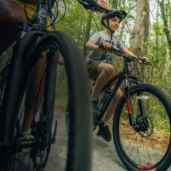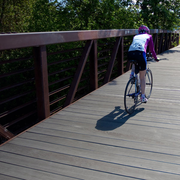
Two bikers blurred by speed

Southern Oregon’s Top Mountain Biking Areas

Photo: Lynn Watson/Shutterstock

Explore the best singletrack near the emerging mountain-bike hotbed of Medford, Ore.

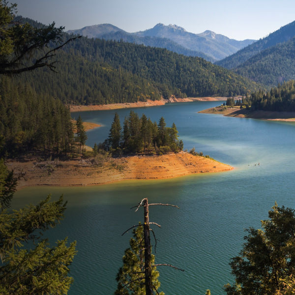
Medford, Oregon, is quickly becoming a mountain biking hub, drawing both local and out-of-state riders to its wealth of multi-level trail systems. Southern Oregon boasts terrain for everyone, including the tricky and technical for more advanced riders, flat and smooth rollers for the weekend family, and everything in between. Just across the border of Northern California, it checks all the biking boxes: pristine, forested mountains, a mild climate, vast trail systems and a hip, post-ride food, beer and wine scene. Whether you’re a Beaver or Duck fan, here are just a few popular biking spots for those new to the Medford-Ashland area.  

Prescott Roxy Ann Park 

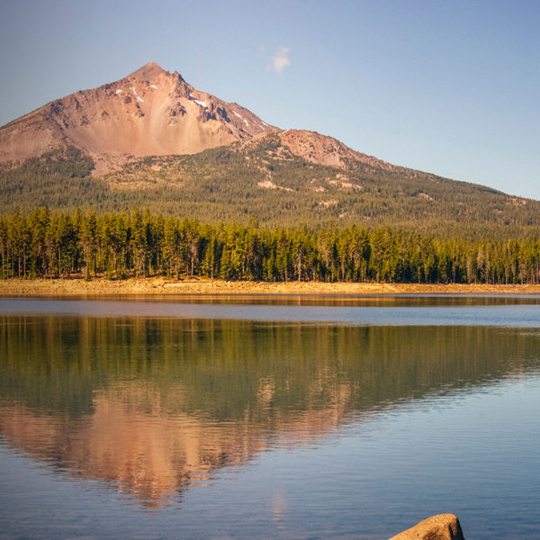
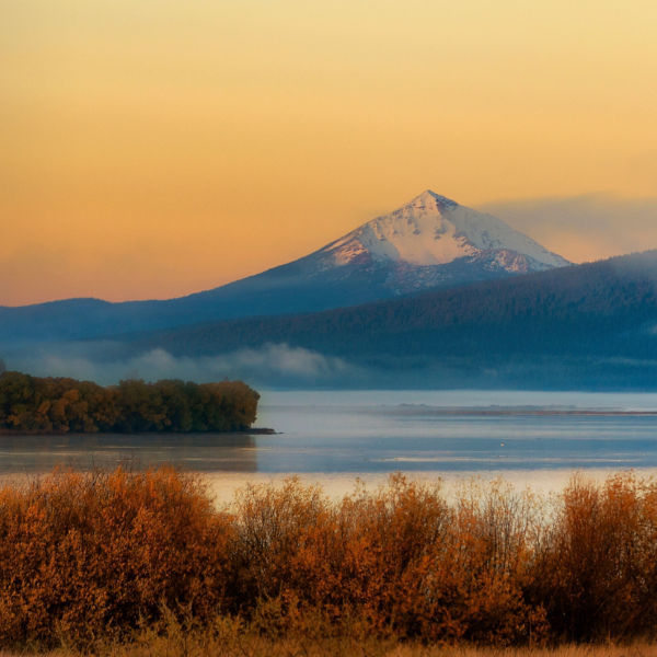
Just a quick 15-minute car ride east from Medford lies Prescott Roxy Ann Park, a trail network that spans across 1,740 acres of mountain glory. Ranging from green to black in difficulty, Prescott Park is attainable for riders of all skill levels. Check out Greenhorn for a 1-mile, flat-and-easy venture through the trees. Or if the crew is up for a bigger challenge, head up Ponderosa, an intermediate singletrack close to downtown affording breathtaking glimpses of Mount McLoughlin along the way. The park attracts advanced riders, too; many of whom cherish Rock and Roll, a popular “difficult”-rated singletrack route known for its bumpy rock gardens and tight, bermed switchbacks. More info: mtbproject.com 

Jacksonville Woodlands and Forest Park 

A short 10 minutes the opposite direction (west) from downtown Medford, is yet another prime mountain biking spot: the Jacksonville Woodlands and Forest Park, home to trail systems designed for a wide range of riders. It’s connected to the larger Britt Woods trail network via the Britt Canyon Trail, an easy, half-mile woodlands path that’s ideal for families and perfect for lunch-break rides or all-day outings on the weekend. Try the Halls of Manzanita, a 3-mile, out-and-back trail known for its gorgeous views and wildflowers. Looking for a longer ride? Just down Jacksonville Reservoir Road lies Jacksonville Forest Park trail, a 10.4-mile loop connecting trails throughout the park, offering the ability to customize your route. With plenty of parking available along the main trailheads, this Oregon trail system makes others green with envy. More info: trailforks.com

Sterling Mine Ditch Trail System 

This system was originally built to deliver water from Little Applegate River to Sterlingville during the Oregon Goldrush. Now it delivers mountain bikers. Primarily a singletrack out-and-back, with several loops turning off at various points along the way, the multi-use Sterling Mine Ditch Trail is a dog-friendly, 30.7-mile trail open to both hikers and bikers. With a few steep pitches, occasional ruts in the track, and narrow passages through the trees that can hook your handlebars, it’s rated an intermediate “Blue” level; not too hard, but not too easy. Don’t want to go the whole way? The Tunnel Ridge Loop off of Bear River Gulch is a 3-mile trail that returns back to the main loop. Local tip: Bring enough water and avoid the poison oak that lines certain sections of the trail. More info: mtbproject.com  

Sign and entrance to Lithia Park, Ashland, Oregon Lynn Watson/Shutterstock

Wagner Creek 

With over 28.3 miles and 15 trails permitted for mountain bike usage only, Wagner Creek is a top spot for riders looking to try out new routes and get away from the masses. It has primarily intermediate- to advanced-level routes, so it’s not the best for beginners. Head down PBR, an advanced “Black Diamond” downhill singletrack, or check out Chuck Chips, another “Black,” 2.5-mile downhill more on the technical side. Expect many features, including drops and jumps, tight switchbacks and narrow sections that weave between trees. Close to the Ashland Watershed and Lithia Park, Wagner Creek is a must for experienced bikers looking for thrills and hopefully not spills.   More info: mtbproject.com
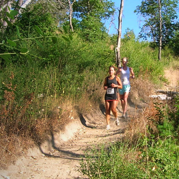
Mountain of the Rogue 

Just an hour west of Medford, this 15-mile trail system is an intermediate and expert playground with a variety of features from berms and drops to gap jumps and rock gardens. Favor a more technical ride? Take your shocks out of lock mode and fly down Ripcord, a machine-built flow trail that has it all, from berms and jumps to technical rock features (perfect for 29ers with bigger travel). Intermediates: Don’t worry about getting in too quickly over your head; the riding increases in difficulty as you ascend deeper into the trail system, and many of the tabletops and double bumps can be rolled through if necessary. Accessed from Breakdown Trail, Freewheel is a true intermediate with opportunities for advanced riders to catch air on optional jumplines. For great views of the Rogue Valley, Sasquatch is a two-way trail that doubles as a downhill flow opportunity. More info: trailforks.com

Crater Lake National Park 

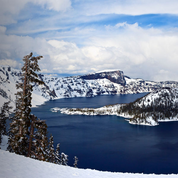
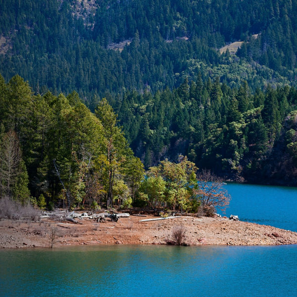
Featuring the deepest lake in the country set along the majestic Cascade Mountain Range, Oregon’s only national park is known for its hiking trails paralleling the crater’s rim and leading down to the lake, as well its 33-mile, paved road along the rim for driving and intrepid road riding. But it also offers Grayback Drive, an 8-mile-long dirt path where mountain biking is encouraged. It’s a vehicle-free roadway, meaning, as a cyclist, you have it all to yourself—just you, your fellow riders and the beauty of Crater Lake to explore at your own pace. More info: travelmedford.org

Lithia Park 

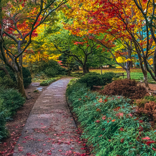
Want to mountain bike among Japanese gardens? Just 20 minutes southeast from Medford lies 93-acre Lithia Park in downtown Ashland, harboring gardens inspired from across the Pacific, gurgling Ashland Creek and more. While its trails are popular for hikers, bikers also like their smooth, rolling terrain for riding. Head up to Upper Duck and/or Lower Duck Pond to pedal between maple, dogwood, cedar, oak, birch, pine, and ash trees in a kaleidoscope of colors come autumn. If you’re lucky, you might even catch live music playing at the bandshell. Want more? Just outside of the park lies a larger network of 30 trails known as the watershed, featuring everything from smooth, flowy trails to more rocky/technical trails for advanced riders (access it from Ashland Loop Road or Forest Road 2060; shuttle service is also available up to the Mount Ashland Lodge). More info: travelmedford.org 

All articles are for general informational purposes.  Each individual’s needs, preferences, goals and abilities may vary.  Be sure to obtain all appropriate training, expert supervision and/or medical advice before engaging in strenuous or potentially hazardous activity.

MORE STORIES