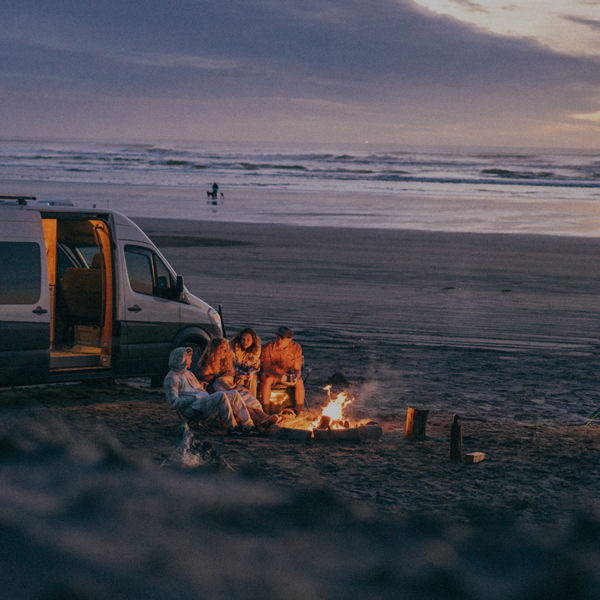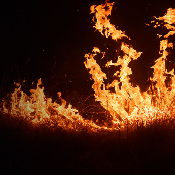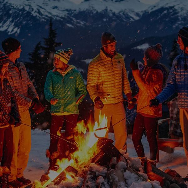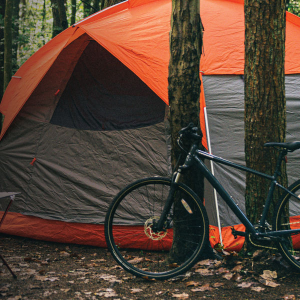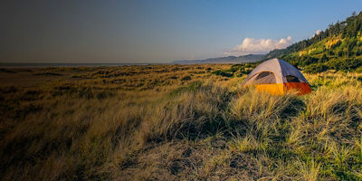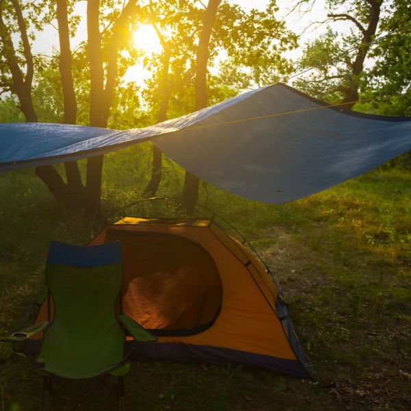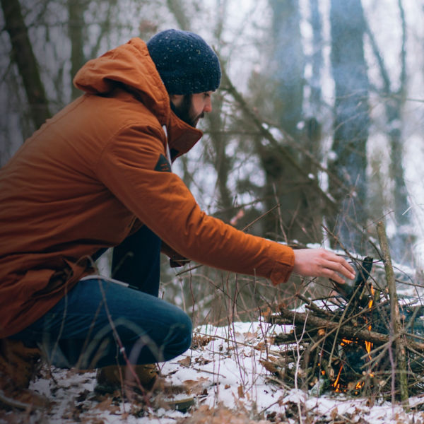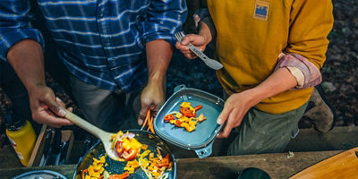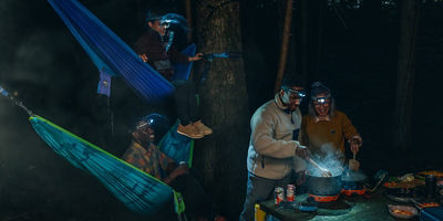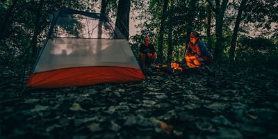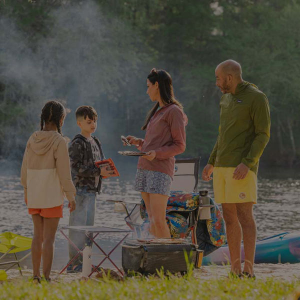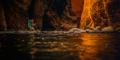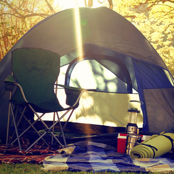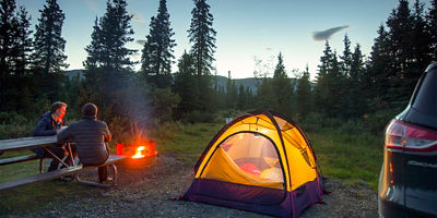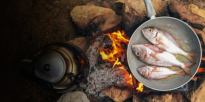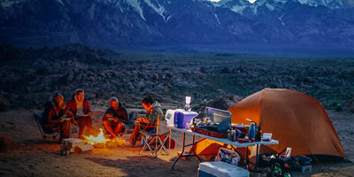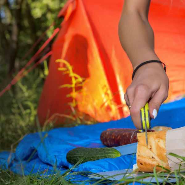
Campfire Safety Tips
Everything you need to know about how to make safe and responsible campfires.
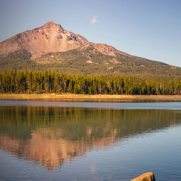
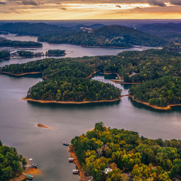
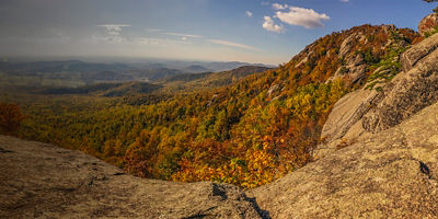
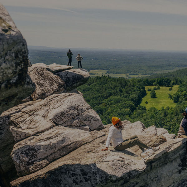
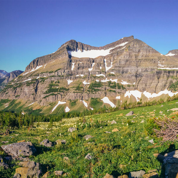
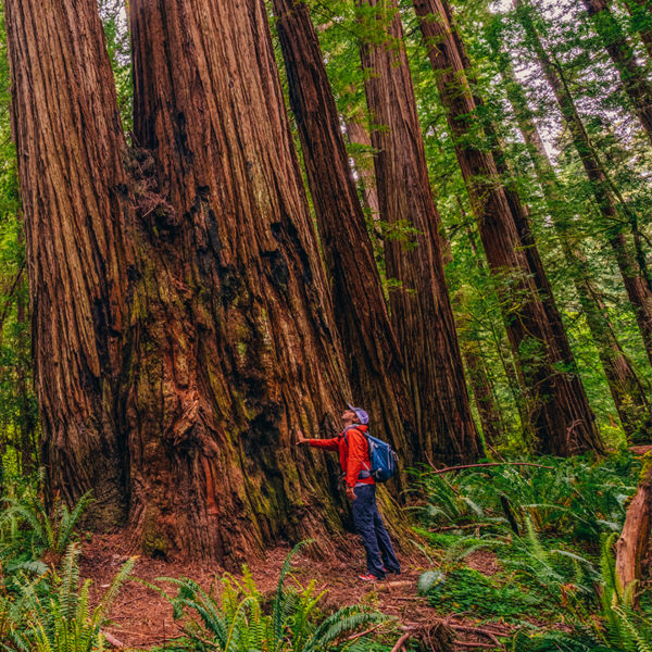
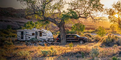
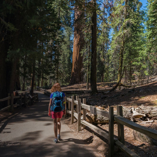
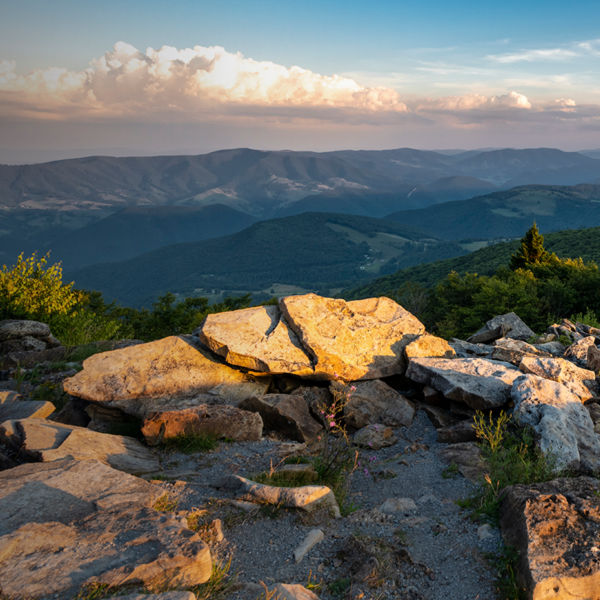
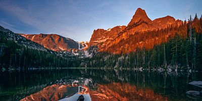
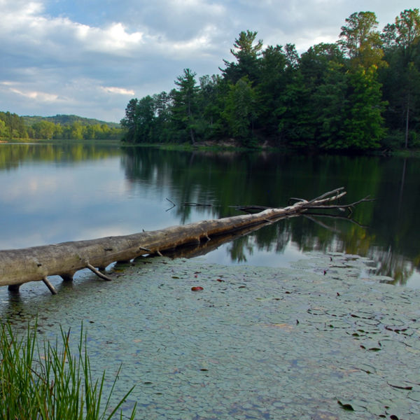
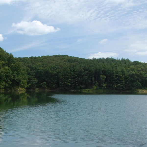
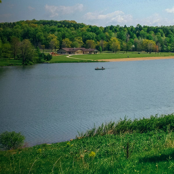
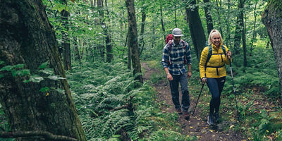
Nabbing a spot at Pawnee gives you front-row access to some of the best hiking trails in northern Colorado. The 47-site campground sits beneath the majestic Indian Peaks, a band of rugged mountains just south of Rocky Mountain National Park and located in the Arapaho and Roosevelt national forests. The Continental Divide lines the top of the ridgeline, with Grand Lake and Grand County to the west, and Boulder County to the east. From the campground, it’s a short walk to small but lovely Brainard Lake, which is framed by stunning mountain peaks and snowy Isabelle Glacier in the distance. Hiking through spruce, fir, and pine forests to one of multiple alpine lakes in the area, to the glacier, the Divide, or to the wide-open views atop 13,229-foot Mount Audubon: They’re all accessible from the perfect basecamp that is a site at Pawnee.
The Pawnee Campground is located off the Peak to Peak Scenic Byway (state Route 72), a windy, scenic two-lane road that runs north to south between the towns of Nederland and Lyons, west of Boulder, Colo. Barely north of the turnoff to the town of Ward, turn west off the Peak-to-Peak onto Brainard Lake Road, which you’ll follow for 2.5 miles to the Brainard Gateway Trailhead (you’ll have to pay $14). The Pawnee Campground is 2 more miles down the road after the gate, on the right.
If your main goal is gazing at mountain views from your campsite, it’s best to book a site on the Elk Loop. Just that view comes at the cost of tree cover and privacy from other campsites, as the Elk Loop is fairly exposed. RVs also line this part of the campground. For tree-covered, private sites, choose the Moose Loop. And for a walk-in site that offers the biggest backcountry vibe with just a couple hundred feet of walking, try for sites W1-W8.
Due to its high elevation, Pawnee’s window of operation is limited to the warmest summer months. Opening date hovers around the end of June to early July (snow cover-dependent), and the campground closes for the year the second weekend of September. Late summer can also bring whipping winds and cold or can be warm and pleasant. Your safest bet for weather is July and August, though the high-mountain location brings an array of weather.

The closest town of Ward has a tiny shop that mostly serves road cyclists making the climb from the city of Boulder. The town of Nederland, 14 miles on the Peak-to-Peak to the south, has a grocery store and shops for supplies, as does Lyons, 29 miles to the north and Estes Park, 35 miles to the north. Boulder is 35 miles east.
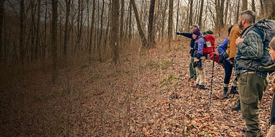
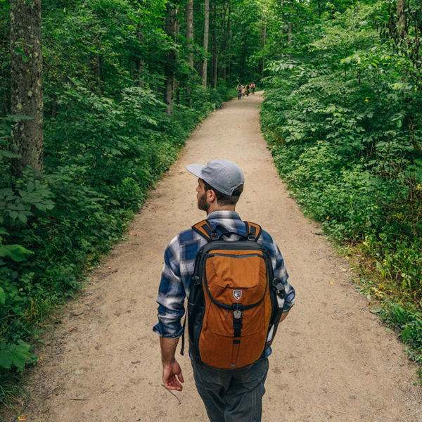
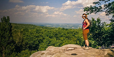
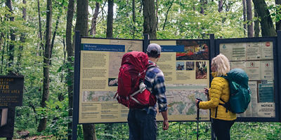
The hiking and mountainous trail running accessed from the Pawnee Campground is world-class. Here are some highlights.
The 30 parking spots at the Long Lake trailhead fill around 6 a.m. during most summer mornings, but you won’t have to worry about that since your car will be parked at your campsite. You’ll walk to the west end of Brainard Lake to begin this mellow hike around picturesque Long Lake (4.1 miles around). You’ll start on the Niwot Cut trail then connect to the Jean Lumming Trail to the Pawnee Pass Trail to circumnavigate the lake.
Starting this hike by taking either trail halfway around Long Lake, you’ll continue on the Pawnee Pass Trail to reach beautiful Lake Isabelle, where you’ll continue on the Isabelle Glacier Trail. You’ll rock-hop and hike along the north end of the lake before tackling a challenging climb to the base of the Isabelle Glacier. Alternatively, you could take the Pawnee Pass Trail to climb to 12,541-foot Pawnee Pass.
From Brainard Lake, you’ll wind your way on trails and some pavement to the Mitchell Lake Trailhead, where you’ll then begin a 7.6-mile gradual climb (at first) toward 13,233-foot Mount Audubon. It’s a rocky, steep scramble on the second half of this challenging out-and-back, but a Colorado Rockies classic.
From the Mitchell Lake Trailhead, you’ll hike the flat and pretty terrain to Mitchell Lake, then continue to Blue Lake, one of the most picturesque lakes framed by jaw-droppingly beautiful mountain peaks. This is a popular route, so get an early start to avoid crowds.
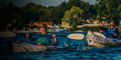
Outdoor adventurers also enjoy launching canoe and standup paddleboard trips on Brainard Lake, though it’s fairly small. Bouldering in the area draws rock climbers as well, and anglers enjoy fishing the lakes and creeks for brook, rainbow, and cutthroat trout. Mountain bikes are allowed on trails outside of the Indian Peaks Wilderness, like the Sourdough Trail that starts near the Brainard Gateway and cuts north to south.
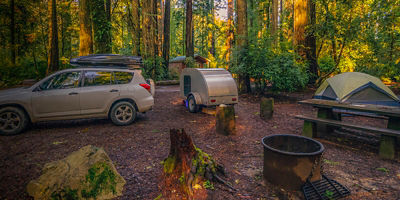
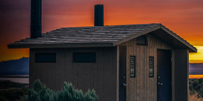
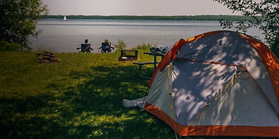
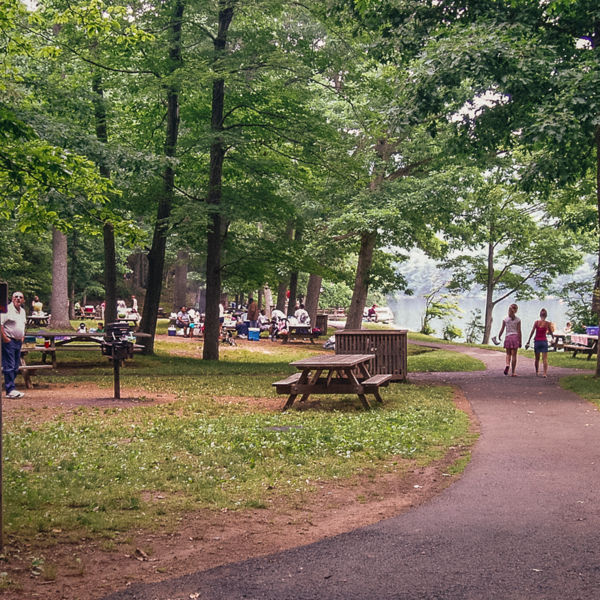
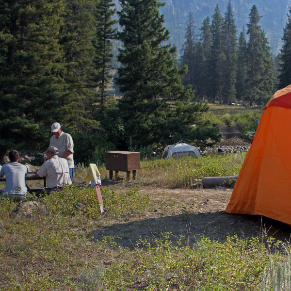
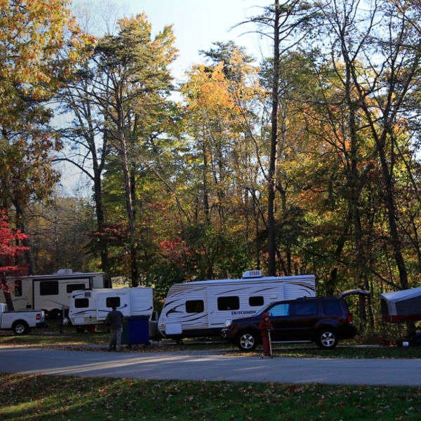
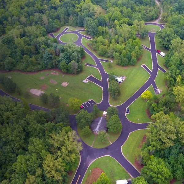
Reservations on Recreation.gov open six months ahead of booking dates. Thirty-one of the 39 campsites accommodate RVs, while they all have nice, flat tent sites. Vault toilets, drinking water spigots, picnic tables, and fire rings at all sites make this a comfortable home base for exploring the area.
With the campground sitting above 10,000 feet in elevation, it’s important to be aware of altitude sickness and make sure you’re hydrating and fueling properly. Summer temperatures, despite the high elevation, can be hot, while evenings will be cool to cold. Afternoon thunderstorms are common.
Dogs are permitted in the campground and on area trails but must remain on a handheld leash no longer than 6 feet in length. Left-behind piles of dog poop have become a problem in this area, so please do your part and pick up after your dog.
All articles are for general informational purposes. Each individual’s needs, preferences, goals and abilities may vary. Be sure to obtain all appropriate training, expert supervision and/or medical advice before engaging in strenuous or potentially hazardous activity.