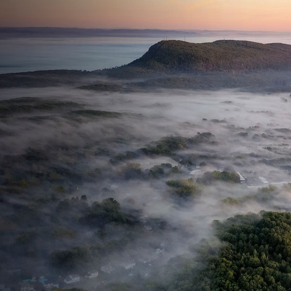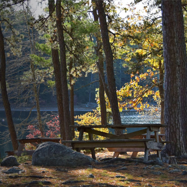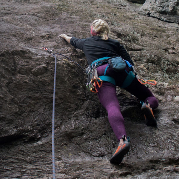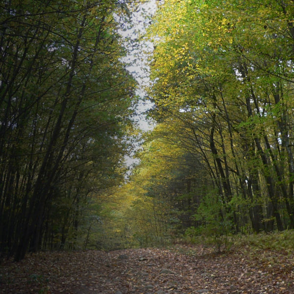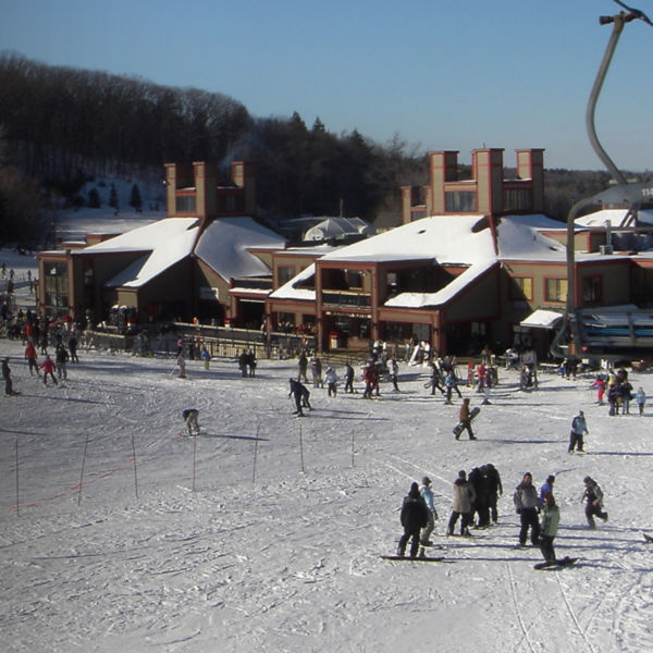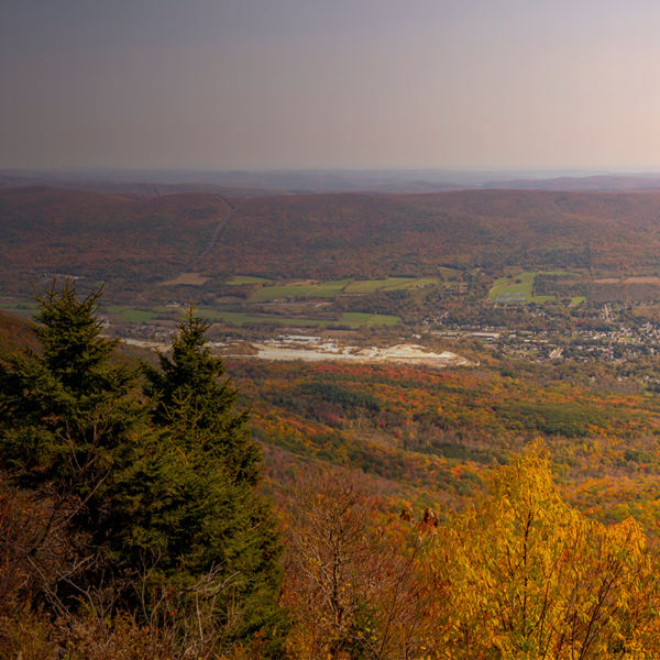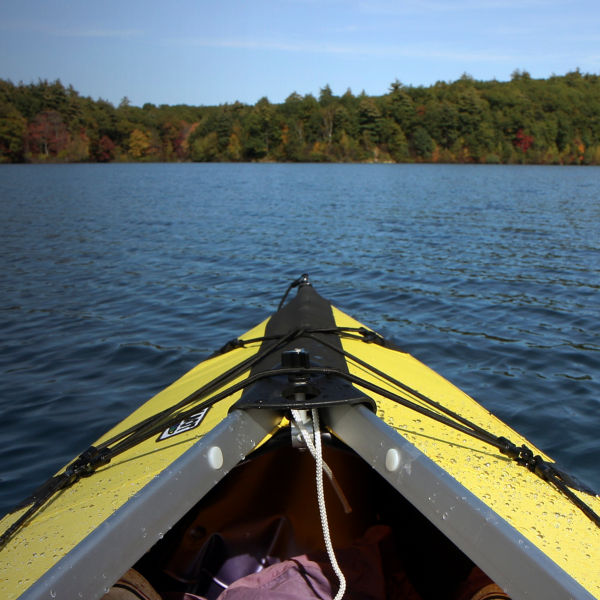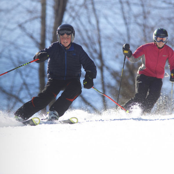
Swaths of land as large as the nearly 800,000-acre White Mountain National Forest are hard to come by in New England, a region that was heavily settled well before the Forest Service was even a thought. Born from public outcry over uncontrolled logging and wildfires, this massive tract in northern New Hampshire (traditionally inhabited by Wabanaki peoples) is home to the highest peaks in the Northeast, endless lakes and rivers, one of the most rugged sections of the Appalachian Trail, four ski areas, dozens of campgrounds, six congressionally designated wilderness areas, and roughly 1,200 miles of hiking trails. And after less than a 3-hour drive from Boston, it’s easy for visitors to experience some of the deepest, most remote parts of the region. The volume of activity the Whites hold—and hide—is a gem in one of the most densely populated parts of the country.
Getting Oriented
For the forest’s size, it’s surprisingly simple to access nearly all corners of the White Mountains. Interstate 93 shoots north from Boston into the heart of the range. The hub of Lincoln, N.H., is only 2 hours from Beantown, and it’s a central access point for the forest’s western side. The Pemigewasset (Pemi) Wilderness, Franconia Notch, scenic Kancamagus Highway (the “Kanc”), and more are all accessed easily from here. Either the Kanc or beautiful state Route 302 (through Crawford Notch) lead east to North Conway, another hub of the range. From here, the Presidential Range, including Mount Washington, is close at hand. Various ski and wilderness areas, huts, rock and ice climbs, and scenic drives are sprinkled in and around small towns throughout the Whites, but all are within fast reach from these two main towns.
Backpack the Presidential Traverse
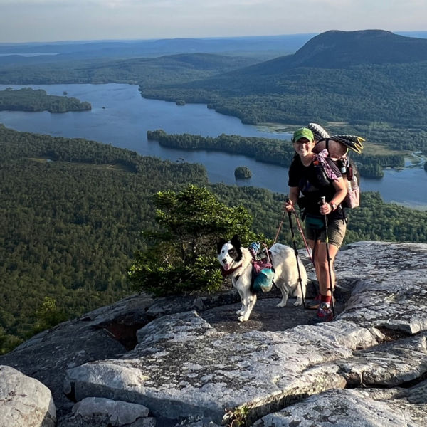
The Presidential Traverse—a range of peaks along the crest of the Whites named after former U.S. commanders in chief—is a backpacking trip worthy of anyone’s life list, no matter where you typically spend your time. A steep climb from Crawford Notch gains the ridge where the trail eventually breaks out of the treeline, rolling between broad, grassy summits and blue tarns before climbing to the bouldery top of 6,288-foot Mount Washington, the tallest peak in the Northeast. From there, the trail continues into the slightly more dramatic and rocky northern peaks of the range before the trail drops off the ridge to the town of Randolph, N.H., after nearly 22 miles (the Appalachian Mountain Club runs a shuttle service between the two trailheads). While the traverse is a popular trail run and can certainly be done as a day-hike, it’s more enjoyable to savor the views staying at one of a number of campsites just below the treeline on the ridge. Alternatively, pack a daypack and stay at the Appalachian Mountain Club huts placed along the route, where they’ll take care of your food, bedding, and shelter.
Fish the East Branch Pemigewasset River
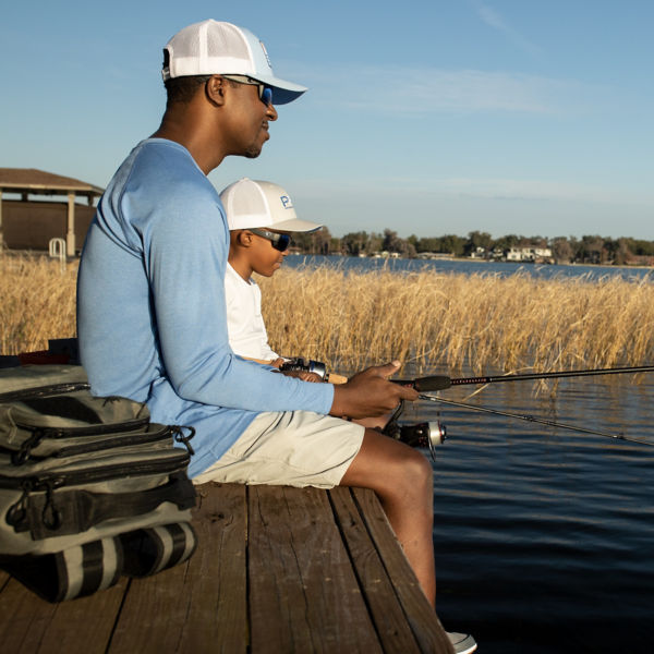
Tucked below the rugged Pemigewasset Range outside Lincoln, N.H., the East Branch of the Pemi River is a trout angler’s paradise. The best of it is accessed from the Lincoln Woods Trailhead. Follow the trail north into the Pemigewasset Wilderness at Franconia Brook. Various trails follow the river northeast past campsites and immediate access to the river. Take your pick and wet your line for brook, rainbow, brown trout and more. Want to combine your fishing with some more hiking? Trails into the Pemi Range (try hiking to the summit of Bondcliff, just 4 miles from the river) are plentiful, and other inspiring points of interest liks Thoreau Falls or Shoal, Norcross, or Ethan ponds are all a day-hike away.


