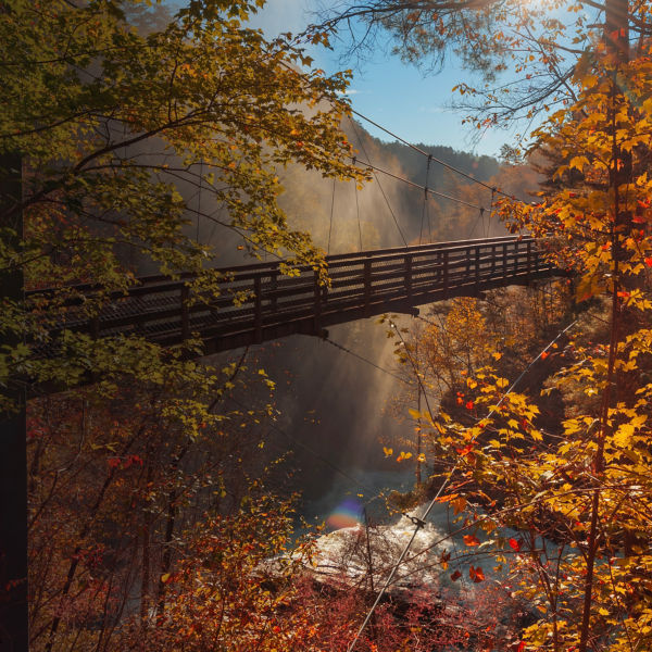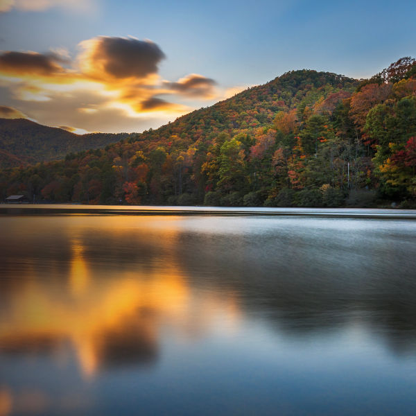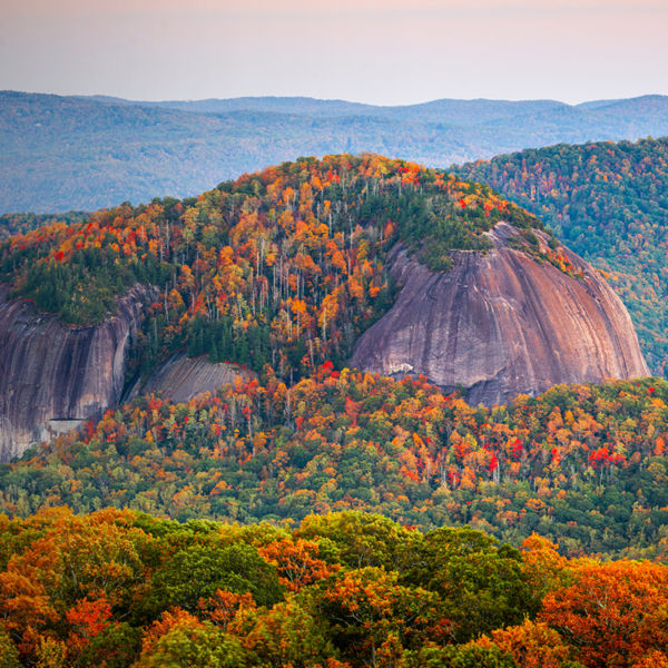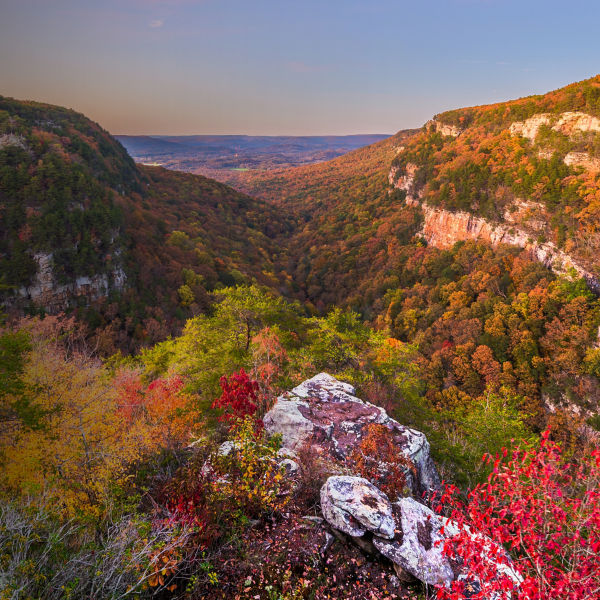
Autumn landscape of the Smoky Mountains in fog, Deep Creek Overlook, Great Smoky Mountains National Park, North Carolina

Hiking Guide to Great Smoky Mountains

Seek out the best hikes in the country’s most popular national park, plus time your trip to catch the fall foliage show.

Great Smoky Mountains National Park is the most-visited national park in the country. It’s a popular place, sure, but hikers can spread out among some 150 trails in the park during all seasons of the year. There’s really no bad time to head to the park, with spring offering wildflowers, summer giving way to roaring waterfalls, autumn yielding the changing colors, and winter opening up new vistas typically blocked by leaves. That being said, there are a number of very popular trails in the park. A couple even made this list, included in the interest of offering the best option for every type of hiker, from families and those needing accessible trails, to experts craving more strenuous outings (likely to be less crowded than the usual suspects). 

Best Family Hike 

Porters Creek Trail

Trailhead: Greenbriar Cove (6 miles east of Gatlinburg, Tenn.)

Mileage: 2 miles round-trip

Elevation Gain: 350 feet

Take a mellow, 1-mile walk through hardwood forest and along the bucolic Porters Creek to Porters Flat. It’s a nice leg-stretcher, or introduction to hiking for younger kids, and there’s a historical element to engage them with, too: There’s a barn, cabin, and remnants of a cemetery from the bustling community of 500 European settlers who lived in the area in the late 1700s. In the spring, this area comes to life with wildflowers, becoming free of snow and ice much earlier than the higher-elevation trails. 

Best Accessible Hike

Gatlinburg Trail

Trailhead: Sugarlands Visitor Center 

Mileage: 3.9 miles round-trip

Elevation Gain: 164’

This is a popular trail that’s open year-round and also one of two trails in the park that allow leashed dogs. Running along the West Prong of the Little Pigeon River, the flat trail offers nice views of the water. Visitors can park in one of six accessible spaces (all are van-accessible). The trail itself is dirt, gravel, or pavement and is at least 4 feet wide in most places. The first 1.2 miles is the most accessible section (a grade of 5% or less), as there’s a bridge over the Little Pigeon with over a 2-inch gap from the trail to the bridge. 

Best Waterfall Hike 

Hen Wallow Falls

Trailhead: Cosby Picnic Area/Gabes Mountain Trail

Mileage: 4.4 miles round-trip

Elevation Gain: 900’

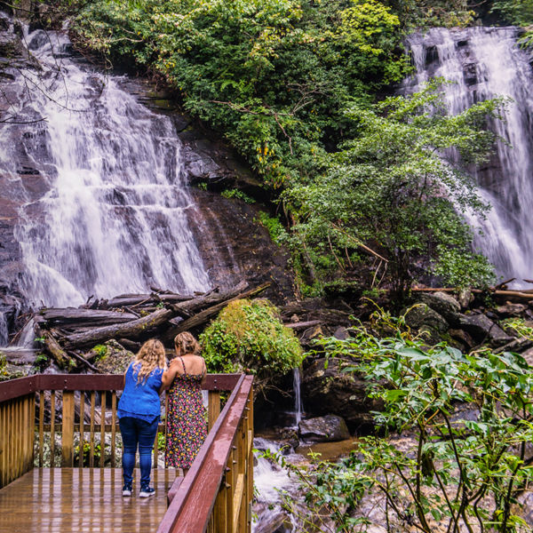
The park is known for its many waterfalls and they’re (rightfully) popular hiking destinations. Over 200,000 people hike to the heavy-hitters (Grotto, Laurel, and Rainbow), but there are more than 2,000 miles of streams in the Smokies and numerous waterfalls within the park. The hike to the 90-foot-tall Hen Wallow Falls meanders through hemlock and rhododendron forest. The final jaunt to the base of the falls follows steep switchbacks, and in the coldest winter temps, the falls can often freeze into a stunning pinnacle of ice. Continue on Gabes Mountain Trail beyond the falls to immerse yourself in a beautiful old-growth forest. 

Spruce Flats Falls in the Great Smoky Mountains National Park, Tennessee

Best Fall Foliage Hike 

Instead of offering just one hike, here are tips on how to find the right one for you. First, avoid areas where you’ll spend most of the time in spruce-fir forests, as those aren’t the place for the color-changing action. Next, know that fall-foliage color transitions start from the top down: Leaves in the Smokies often change at high elevations starting around mid-September. This is when (if you’re looking at Andrews Bald or the Jump-off or Mount LeConte) you’ll see the pin cherry, American beech, mountain maple, and yellow birch start to show. By early- to mid-October, you’ll still want to trend toward higher-elevation hikes (such as Mount Cammerer or Albright Grove), as it isn’t until late October and early November that you’ll get the lower-elevation color show. For a better idea of when the leaves are changing, or reaching “peak peeping level,” check out the map published on smokymountains.com. You can also see what’s happening in real-time by viewing the webcams on the park’s weather page. 

Best Easy Hike 

Spruce Flats Falls

Trailhead: Across from the Tremont Visitor Center

Mileage: 2 miles round-trip 

Elevation Gain: 413’

This trail is not on the park’s map but it’s a well-worn trail. At the end of the paved road across from the Tremont Visitor Center a trail heads uphill to the left through the woods. Follow the signs marked “falls” for 1 mile, finishing with a short descent (watch for rocks and roots) into the valley. This is a quieter trail that accesses a 30-foot cascading waterfall that continues onto a few more drops before connecting to the Middle Prong. 

Best Intermediate Hike 

Abrams Falls

Trailhead: The turnoff is past stop #10 on the Cades Cove Loop Road

Mileage: 5 miles

Elevation Gain: 630’

Yes, Abrams Falls is one of the park’s more popular hikes, but it’s because it’s a great intermediate hike with stellar scenery. You’ll wander through old-growth forests, hemlock and rhododendron by the creek and pine-oak on the ridges, and in the spring and summer you’ll be treated to wildflowers. While the falls are only about 20 feet high, they are incredibly powerful—you’ll be awed by the power of the water. 

Best Difficult Hike 

Charlies Bunion

Trailhead: Newfound Gap

Mileage: 8 miles round-trip

Elevation Gain: 1,600’

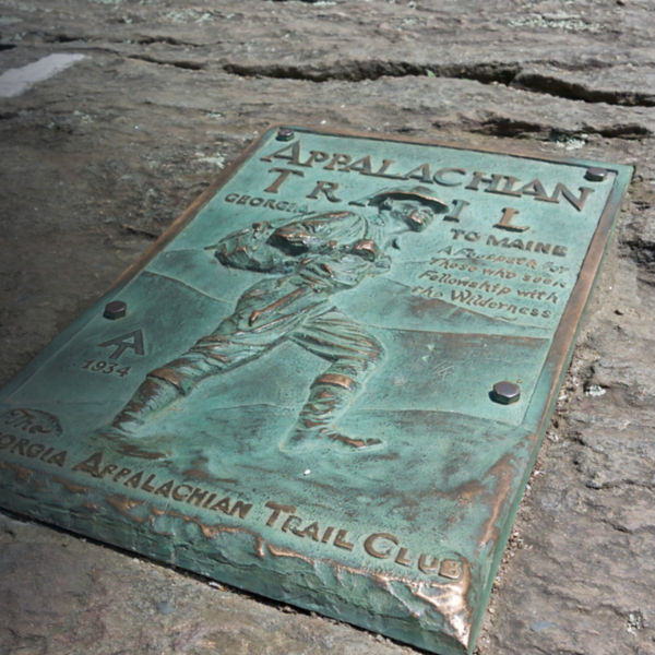
Charlies Bunion is a must-hike trail. For the first 2 miles you’ll gradually climb up through the woods and soon leave the crowds behind at Newfound Gap. Continue up and traverse a number of peaks—Mount Ambler, Mount Kephart, and Masa Knob—before reaching Charlies Bunion, the dramatic rock outcropping just shy of the summit. As you hike through the dense forest the landscape starts to open up: From the higher elevations you’ll be treated to beautiful and expansive views, and seasoned hikers will enjoy the spice of traversing some exposed cliffs. If you were to continue past Charlies Bunion you’d eventually end up at Mount Katahdin in Maine—the northern terminus of the 2,000-plus-mile Appalachian Trail.

All articles are for general informational purposes.  Each individual’s needs, preferences, goals and abilities may vary.  Be sure to obtain all appropriate training, expert supervision and/or medical advice before engaging in strenuous or potentially hazardous activity.

MORE STORIES