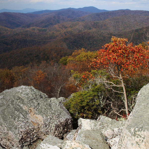
Rocks at Humpback Rocks

Hiking Humpback Rocks

Photo: NPS

Work for one of Virginia’s best highpoint views of the Shenandoah Valley.

Located a half-hour west of Charlottesville along the Blue Ridge Parkway, Humpback Rocks is one of central Virginia’s most popular hikes, and for good reason. This 5.5-mile loop winds through verdant broadleaf forest, connecting three must-see local spots: the Humpback Rocks Visitor Center and historic farm, the stunning granite outcropping of Humpback Rocks, and the 3,606-foot summit of Humpback Mountain. The whole hike ascends a respectable 1,500 feet of elevation gain, and both highpoints offer showstopping views across the Shenandoah region. 

History

The jagged granite dome of Humpback Rocks was formed about 300 million years ago during a tectonic mountain-building event called the Alleghanian Orogeny. The land ultimately became part of the Monocan People’s ancestral homeland. Later, European settlers and wagoneers used Humpback Gap as a stopping point along Virginia trade routes. Homesteaders and small farmers eventually settled in the valley. To illustrate the life they had here, the Humpback Rocks Visitor Center maintains a number of 1800s-era replica farm buildings and other structures. 

Hikers at Humpback Rocks Photo: NPS

Getting There

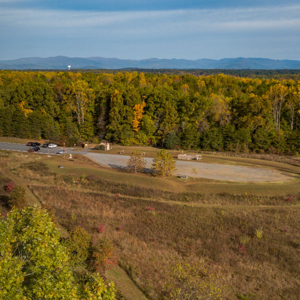
The Humpback Gap parking area and Humpback Rocks Visitor Center are just off the Blue Ridge Parkway near Milepost 5.8. If you’re coming south from Charlottesville, you’ll see the visitor center on your right and the trailhead parking lot on your left. Be sure to arrive early: On pleasant-weather weekends, the lot can fill as early as 8 a.m. 

Hike Details

Starting from the Humpback Gap parking area, head south following blue blazes. After about 0.5 miles, you’ll reach a Humpback Rocks spur on the left. Sip a little water and tighten your pack straps: The spur ascends a whopping 700 feet over less than a quarter-mile. Fortunately, the views are well-worth the burning quads. At the top, you’ll be able to see all across the rolling green hills of the Shenandoah and Rockfish valleys. 

When you’ve had your fill of gawking, turn south to gain the Appalachian Trail. Then continue south, following white blazes. After about 0.6 miles, the trail will pitch sharply upward again, carrying you to the top of Humpback Mountain. Pat yourself on the back: It’s all downhill from here. After a quick snack break, retrace your steps going north along the Appalachian Trail. After a little less than a mile, you’ll veer right (east) to stay on the AT, where you’ll descend switchbacks for about 2.5 miles. At that point, you’ll see your left-hand turnoff, which leads a short 0.2 miles back to the parking area. 

Local Tips

If you can, arrive early or late: This is one of the best sunrise spots in the region (bring a headlamp). If you have extra time, be sure to take a spin through the mountain farm museum near the visitor’s center. Costumed interpreters show a realistic portrayal of what farm life would have been like, and detailed signage leaves visitors with an appreciation of Virginia’s rich history. 

More Info: nps.gov 

All articles are for general informational purposes.  Each individual’s needs, preferences, goals and abilities may vary.  Be sure to obtain all appropriate training, expert supervision and/or medical advice before engaging in strenuous or potentially hazardous activity.

MORE STORIES