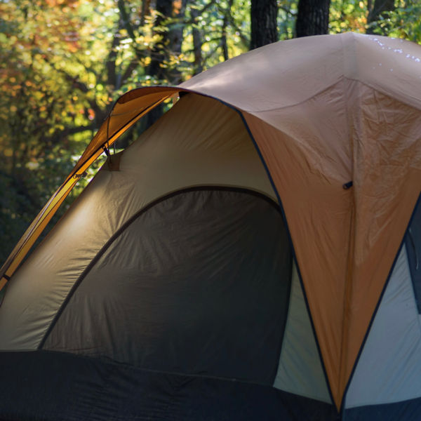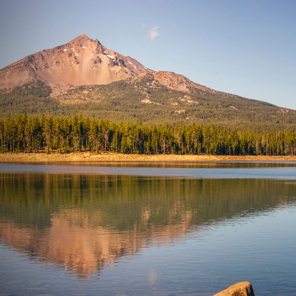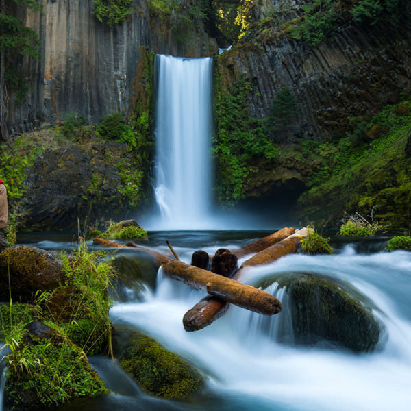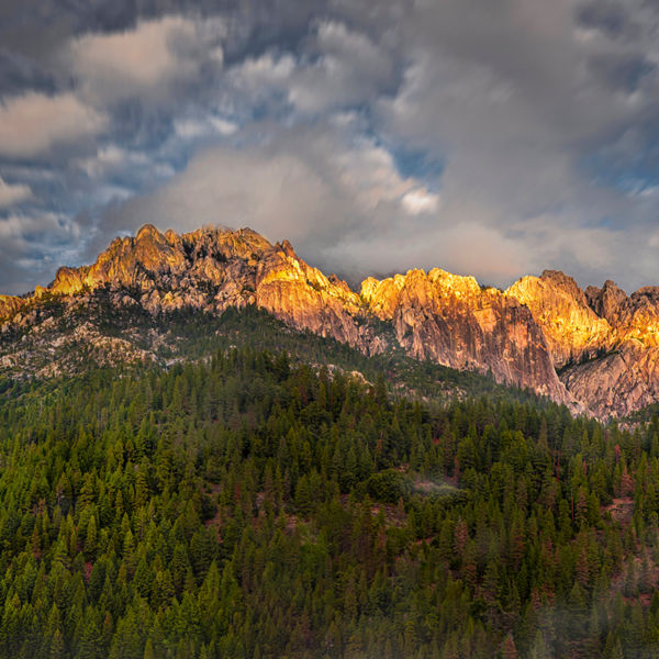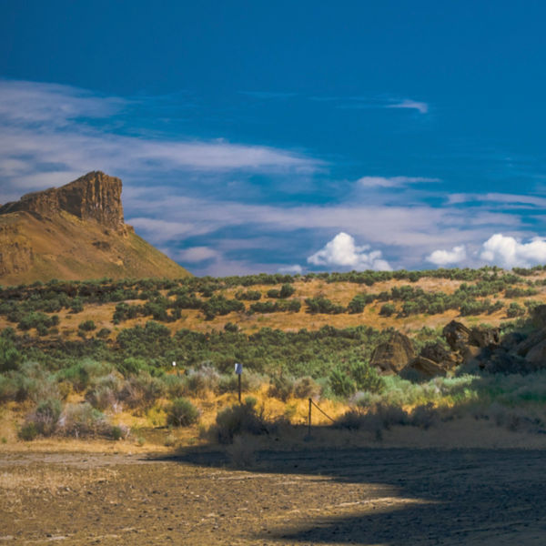
A view from a field of Table Rock in Oregon

Don’t-Miss Hike: Upper and Lower Table Rocks

These two short day-hikes provide a nice dose of exercise, delivering splendid views of the Rogue River Valley and Southern Cascades.

In terms of access, awe and convenience, the Table Rocks hikes can’t be beat. Just a handful of minutes north of downtown Medford, Ore., the Upper and Lower Table Rock mesas tower above the Rogue River. A quick escape and a little exercise yields an excellent payoff: The tops of both of the U-shaped buttes offer sweeping views 800 feet down to the river valley and beyond to the high peaks of the Siskiyou and Cascade mountains—even to the rim of nearby Crater Lake.

Upper Table Rock (2,092 feet) is the farthest upriver (east). Lower Table Rock (2,049) is downriver, to the west, hence the “lower” designation. The mesas, plus the surrounding views of the valley, river and mountains, are a geologist’s dream. The base of the formations are primarily sandstone and conglomerate dating back to between 34 and 48 million years. They’re also protected by a 125-foot-thick lava cap, which resulted from the Mount Olsen shield volcano that erupted some 7 million years ago about 44 miles upriver.

For the last tens of thousands of those years, Indigenous people lived in the Rogue River Valley, with the Takelma being the largest group during the 19th century expansion of European and U.S. fur trapping and mining exploration in the area, which provided the formations with their current, quite literal names (vs. the traditional inhabitants’ name of Ti’tanak for the rocks). The twin towers became well-known landmarks for travelers on the trail from Oregon’s Willamette Valley to Central California as an 1850s gold rush attracted miners and settlers—and conflict with the Takelma tribe, which retreated to Upper Table Rock, a natural fortress that defied capture. Violent encounters only escalated, leading to the Rogue River Wars from 1855 to 1856.

The Nature Conservancy and Medford Bureau of Land Management now jointly own and manage both the Upper and Lower Table Rocks (BLM controls 1,280 acres, while the Nature Conservancy manages 3,391 acres). In the 1980s, the Youth Conservation Corps started to improve the trails; local Boy Scout groups and the Oregon Dept. of Forestry also contributed many hours of planning and work. 

Aerial View of the lush green Rogue Valley in Southern Oregon from atop Table Rock Plateau with fields of green and yellow wildflowers.

Recommended Routes

The shortest hike is Upper Table Rock, but you’ll still gain 720 feet of elevation from the parking lot. You walk 1.25 miles to the summit (round-trip is 2.5 miles, but plan on another quarter- to half-mile of exploring the top of the mesa). Once you reach the top of the mesa, you can follow a trail to the south (left) to a lovely viewpoint, or hike the mile-long loop that circumnavigates the mesa. If you head west across the mesa, you’ll arrive at another viewpoint for views to the west. The trail is good, but keep in mind that weather and erosion are everyday events; wear good shoes and take your time. 

A slightly longer hike (1.75 miles each way) leads to the summit of Lower Table Rock. You’ll gain 780 feet of elevation, but there are plenty of switchbacks. This is a great hike for history buffs as there’s signage along the trail that talks about the larger historical, biological and geological context. Like the summit of Upper Table Rock, Lower Table Rock has a path that takes you around the mesa, as well as one that leads you a mile to the old airstrip that was built in 1948 to attract “celebrities” to the region. 

It’s about another half-mile (one-way) to a viewpoint overlooking the eastern rim. Alternatively, you can hike about another mile (one-way) across an old, dirt airstrip built in 1948 to reach a southern viewpoint that looms over the Rogue River coursing below. All in, you should expect to hike about 5.5 miles round-trip. From the parking area, there’s a half-mile, wheelchair-accessible trail, the Oak Savannah Loop, that is gorgeous no matter your fitness or ability. 

There are bathrooms at Lower Table Rock trailhead, but not Upper Table Rock. And no water at either trailhead, so bring your own! Also, pack a pair of binoculars as the birding in the area is legendary. 
 

Getting There

To reach Upper Table Rocks, take Exit 33 from Interstate 5 (Central Point). Go east on East Pine Street for a mile, and then go left (north) onto Table Rock Road. You’ll drive 5.3 miles to Modoc Road, and then turn left (north) and drive another 1.5 miles. The parking area is on your left.

To reach Lower Table Rock, from Table Rock Road, drive 8 miles to Wheeler Road and turn left (west). You’ll reach the trailhead after a half-mile; it’s on your left.
 

More Info

On the top of both Table Rocks, you’ll see the Vernal Pools and Dwarf Wooly Meadowform. The pools are formed in the winter and spring since water won’t penetrate into the andesite cap. A threatened species of fairy shrimp lives in the pools; since 1984, they have been protected as a BLM Area of Critical Environmental Concern. The Dwarf Wooly Meadowform (a white, five-petal flower) is one of the 200 species of wildflowers you might see on your hike. The flower is only found near the Vernal Pools. 
 

Refresh & Refuel

Common Block Brewery in Medford has the best sweet potato fries and browned brussels sprouts in town. The beer isn’t bad either. 

All articles are for general informational purposes.  Each individual’s needs, preferences, goals and abilities may vary.  Be sure to obtain all appropriate training, expert supervision and/or medical advice before engaging in strenuous or potentially hazardous activity.

MORE STORIES