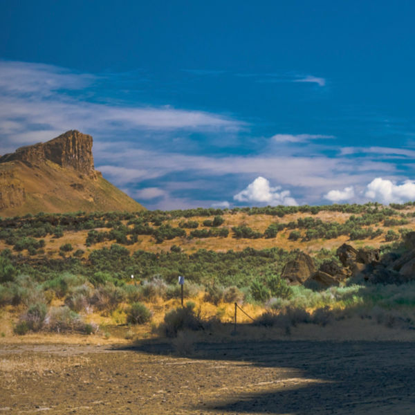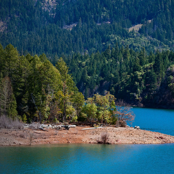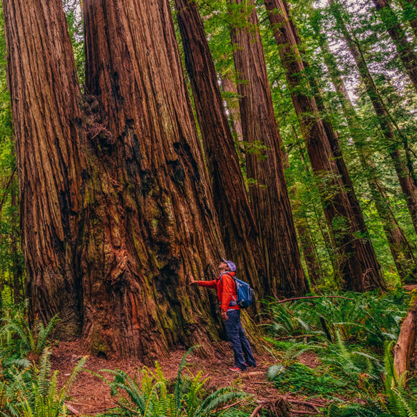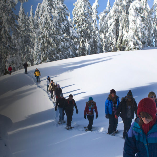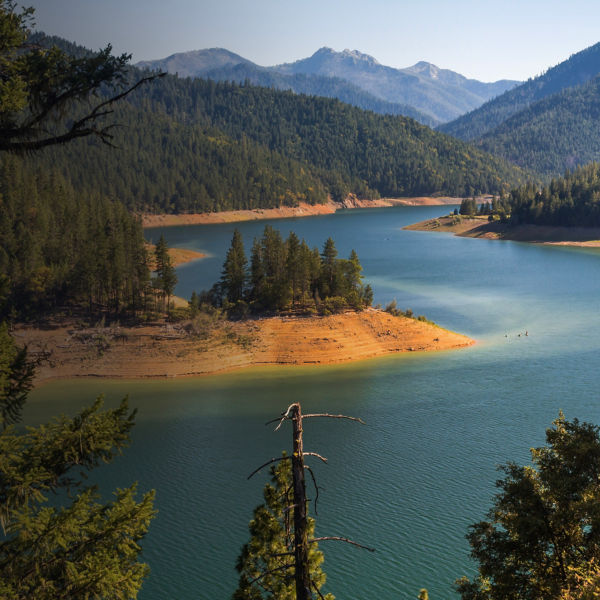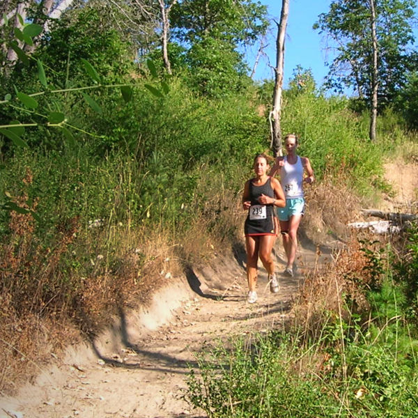
The hills, ridges and waterways of southern Oregon provide an astounding array of recreational opportunities. This rugged and rural region includes Applegate Valley, Rogue Valley, parts of the Siskiyou Mountains, as well as abundant creeks and rivers. While there are literally thousands of acres of public lands with plentiful trails to explore, the Jack-Ash Trail System is an ideal starting point for everything from short trail runs and day-hikes, to mountain biking and horseback riding.
Before you enjoy this trail system, which was developed as a continuous, multi-use foot/horse/bike trail along the ridgelines between Jacksonville and Ashland (hence, the Jack-Ash moniker), it’s worth appreciating the overwhelming task that is creating trails in a such a lush and mountainous region. It’s an effort beyond a single group or agency. In 2009, local outdoor users and advocates formed the Siskiyou Upland Trails Association (SUTA). In partnership with the Medford District BLM, the all-volunteer nonprofit existed for trail maintenance and expansion, though began work on a larger, years-long project to connect the well-established Jacksonville Woodland Trails with the Ashland Watershed Trail Systems.
SUTA completed Phase I of the Jack-Ash Trail in 2017. The first objective: reopening the historic Sterling Mine Ditch Trail (SMDT). By linking both ends of the SMDT, they created an approximately 40-mile loop, with 30 miles of singletrack and the remainder on existing BLM roads. There are now 11 trailheads for improved access; six are only for the SMDT, three for the Jack-Ash Trail (where Phase II is ongoing, see below for more info), and two are shared.
Recommended Route
The Sterling Mine Ditch Trail follows 20 miles of the original 26-mile ditch built in 1877 to transport water from the Little Applegate River to the Sterling Mine—still in operation, though the ditch is no longer used. The trail follows the berm above the ditch, featuring minimal elevation loss or gain. The approach to it can be a different story, with a steeper half-mile to mile leading to the SMDT from all the trailheads except Deming Gulch, which is the only trailhead that starts on the “ditch.” All the other trailheads provide access to the ditch and involve either a climb or descent to reach ditch level. There are info kiosks at all of the seven of the trailheads, and will be at three Jack-Ash trailheads (by fall ’22). There is parking, but no other services at the trailheads. No permits are required and the trails are open at all times, year-round, weather permitting.
In addition to abundant wildflowers in the spring and summer (the calypso orchids are gorgeous), shady stands of evergreen Pacific madrone, and ever-present birds and deer, you’ll also see what’s left of the original mining operation: a tunnel, old stonework, and flume remnants.
Beyond the SMDT, there are about 45 miles of trail in the area, including a newly constructed mile-long path (the first built under Jack-Ash Phase II planning), which starts about one-tenth of a mile from the Wolf Gap trailhead. The new path leads to a lookout with nearly 360-degree views of the Siskiyous, Red Buttes and the Little Applegate Valley. Eventually, the path will be part of a larger loop that will lead to Tunnel Ridge and a second loop that will intersect with the ditch near Wolf Gulch.


