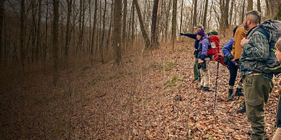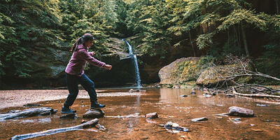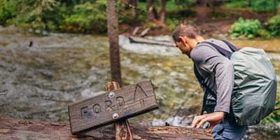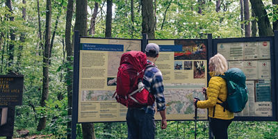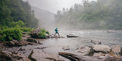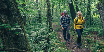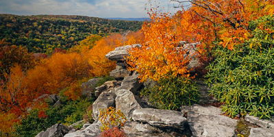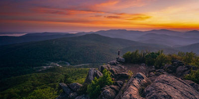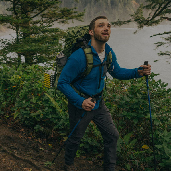
Hikers on the Wonderland Hiking Trail around Mount Rainier, Washington

NATIONAL RECREATION TRAILS

Get to know—and make use of—this trail network that spans the country.

From the 326-mile Superior Hiking Trail in Minnesota to the 196-mile Cowboy Recreation and Nature Trail in Nebraska, the country’s nearly 1,300 National Recreation Trails span all 50 states, the District of Columbia, and Puerto Rico. The whole premise behind this system is to designate and promote existing land and water-based trails that provide people with recreation opportunities and access no matter where they live. A National Recreation Trail could be anything: a rail trail, urban bikeway, nature trail, water trail, or backcountry trail. And the term “trail” is used generously: National Recreation Trails include routes that are open to diverse user groups like OHV traffic, ice skaters, horseback riders, and swimmers.

When Were National Recreation Trails Created?

National Recreation Trails were created under the National Trails System Act of 1968 to offer national recognition and promotion to local trails across the country. 

Who Designates a National Recreation Trail?

The United States Secretary of Agriculture has the authority to designate National Recreation Trails on U.S. Forest Service land and the Secretary of the Interior can designate these trails on all other federal, state, and local land (with the consent of the land owner). The National Recreation Trail system opens up applications for designation on an annual basis (learn how to apply here). The program is sponsored by the National Park Service, U.S. Forest Service, and American Trails (the non-profit partner for the program). Beyond the designation there’s no federal oversight, investment, or management of these trails. 

What Does It Mean to be a National Recreation Trail?

The goal of National Recreation Trails is to provide access to recreation for both rural and urban communities by promoting these trails. Another goal of recognizing these trails is to spur economic development and tourism.  According to the National Park Service, trails must meet a certain criteria to be designated. Mainly, that means a proposed National Scenic Trail has to be open to public use and constructed and maintained according to best practices. 

A woman hikes Section 13 of the Superior Hiking Trail along Minnesota's North Shore of Lake Superior. Photo: Alex Messenger/Tandemstock

What Are a Few Examples of National Recreation Trails?

Here are a few highlights of the many National Recreation Trails in the system. Remember, there are nearly 1,300 trails so this is just a start.   

  • Superior Hiking Trail: This 326-mile trail hugs Lake Superior in Minnesota and is open to day hiking, trail running, camping (there are 93 backcountry sites), and snowshoeing. The majority of the trail is closed to horses, skiers, mountain bikers, and motorized traffic.
  • Tahoe Rim Trail: The Tahoe Rim Trail in California and Nevada is a 165-mile loop around Lake Tahoe through the Sierra Nevada that features rugged peaks and sparkling alpine lakes. The trail is open to hikers, backpackers, mountain bikers (in non-wilderness areas), horseback riders (except in a short section that can be bypassed), dogs, and winter users.
  • Wonderland Trail: The 93-mile Wonderland Trail circumvents Washington State’s Mount Rainier (Tahoma). It’s located in a National Park so no dogs are allowed, but hikers, runners, and campers are welcome to explore the forests, valleys, and high-alpine terrain. 
  • Willamette River Water Trail: The 187-mile Willamette River Trail in western Oregon lets paddlers explore forests, meadows, parks, rural towns, and big cities. Canoes, kayaks, standup paddleboards, and raft or drift boats are all welcome at the trail’s campsites.
  • Black History Trail: The District of Columbia’s Black History Trail is a 7.5-mile urban trail open to bikers, walkers, and runners. In 1978 Willard Andre Hutt proposed the trail to honor Black history, with stops at Frederick Douglass National Historic Site and Mount Zion Cemetery, as part of an Eagle Scout Project. The trail was designated in 1987.
  • Bird to Gird Pathway: This 12-mile bike path runs along the scenic Turnagain Arm waterway and connects the Alaska communities of Girdwood, Bird, and Indian. The trail is open to bikers, walkers, cross-country skiers, and picnickers (there are a number of picnic tables along the way).

How Do I Find One Near Me?

You can find a trail near you and filter by distance and activity by using this handy search tool

All articles are for general informational purposes.  Each individual’s needs, preferences, goals and abilities may vary.  Be sure to obtain all appropriate training, expert supervision and/or medical advice before engaging in strenuous or potentially hazardous activity.

MORE STORIES