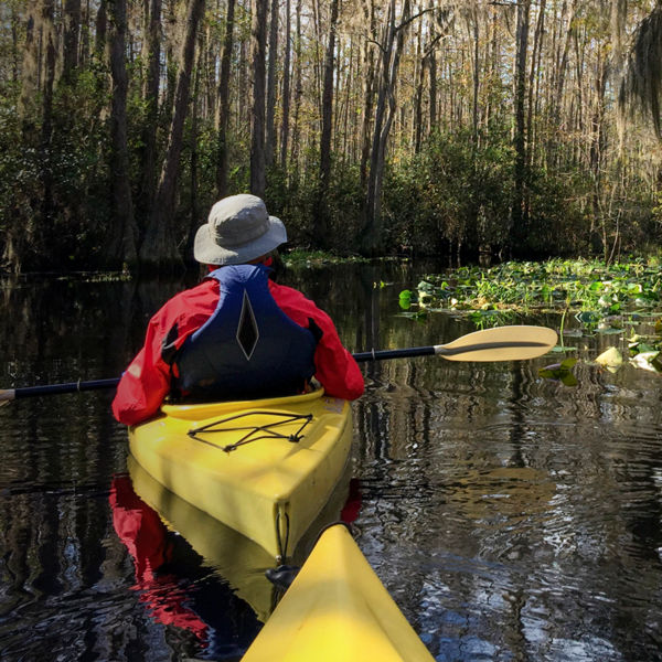
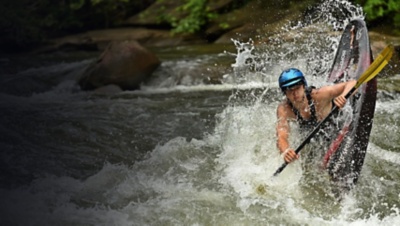
A kayaker navigates the Ocoee river

A Floater’s Guide to the Famed Ocoee

Photo: Courtesy Wildwater Adventure Centers

Here’s how to paddle both action-packed whitewater sections of this acclaimed Tennessee River.

In 1996, when the Summer Olympics came to Atlanta, one competitive outdoor venue gained lasting international acclaim: the Ocoee River. Nestled in Tennessee’s southern Appalachian Mountains less than two hours north of Atlanta, the Ocoee played host to the Games’ canoe and kayak slalom events. And it still serves up some of the Southeast’s best whitewater paddling, whether you’re running it privately (and have the necessary skills and equipment) or are rafting it with a local outfitter

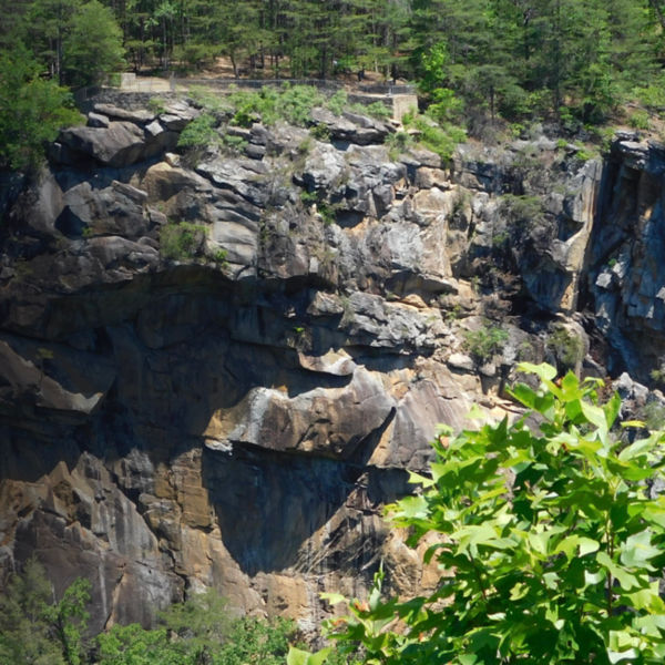
The Ocoee’s headwaters descend from the mountains of North Georgia into southeastern Tennessee through the Ocoee Gorge and into Lake Ocoee. While the river is controlled by three dams operated by the Tennessee Valley Authority (TVA), the energy concern agreed to a groundbreaking series of regular recreational water releases for paddlers, ensuring the river can be enjoyed by all. River excursions are usually split into two half-day trips, or a full-day trip combining the Upper and Middle Ocoee.  

A Storied Past 

It wasn’t always open for use. The Ocoee was dammed to build hydroelectric plants between 1910 and 1913, diverting water away from the riverbed. In 1939, the TVA purchased the power system, and then shut down its wooden flume, which diverted water from the Middle section, for repair in 1976. The river ran free, luring private paddlers and commercial rafting companies in droves to its 5 miles of continuous Class III whitewater. Thanks to a congressional act, TVA later agreed to schedule 116 days of recreational whitewater releases per year on the Middle, helping it become one of the most popular whitewater rivers in the world, attracting over 250,000 visitors annually. 

The Ocoee kept making history as the first natural river used for Olympic whitewater competition, with course designers rechanneling the riverbed to create a course one-third its natural width. Relying on massive, locally quarried sandstone boulders, the accelerated project took two years to complete and in July 1996, the retooled Upper Ocoee brought nearly 20,000 spectators, competitors, and staff to its tightened banks. 

Riverside Amenities

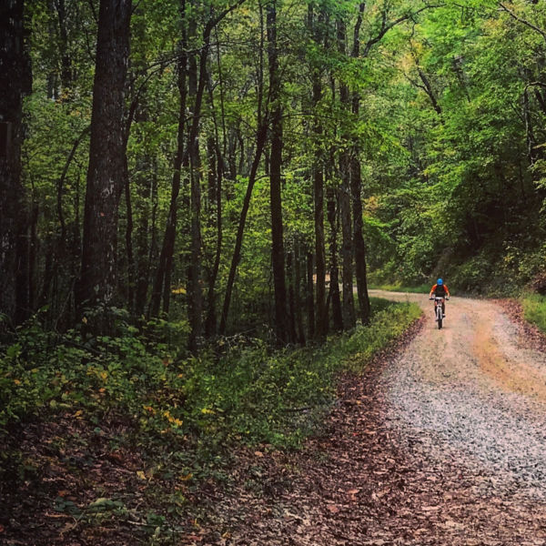
The Ocoee Whitewater Center had an exhibit chronicling the course’s creation and the Ocoee’s role in the ’96 Games, though it was unfortunately destroyed in an April 2022 fire and is now being rebuilt. The parking lot is still open, however, and the site also includes hiking and biking trails that are open year-round, ready for you to stretch your legs after paddling the river. In all, there are more than 30 miles of trails for hikers and mountain bikers, including the looped Bear Paw and Chestnut Mountain trails, and the Thunder Rock Express. The Old Copper Road Historic Trail also allows hikers and bikers an easy-paced alternative.

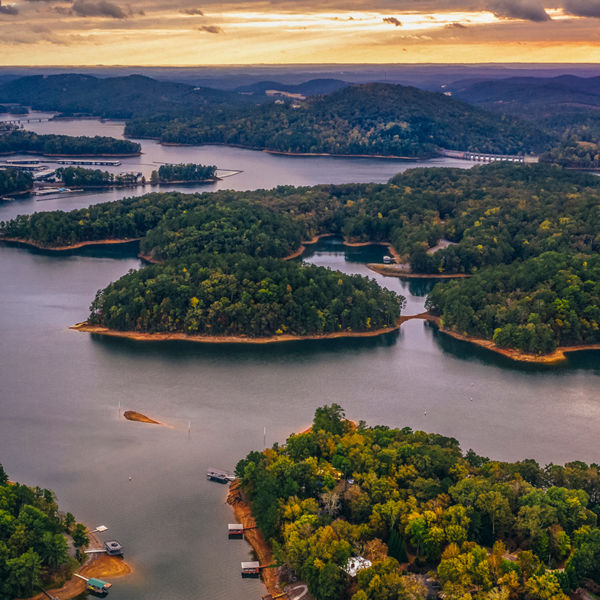
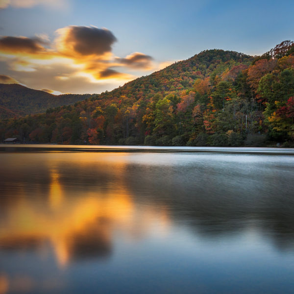
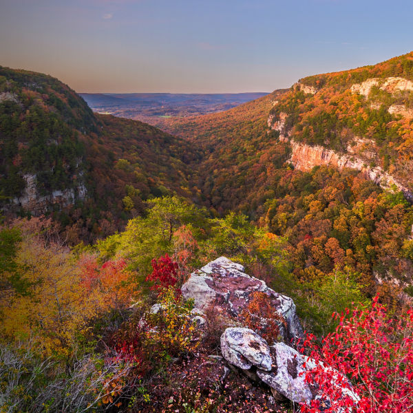
Want to paddle flatwater? Parksville Lake, also known as Lake Ocoee, is just downstream of the whitewater section. It’s the oldest lake in the Cherokee National Forest, created by Tennessee Rural Electric Company in 1910. And at 1,930 acres, it’s got plenty of room for exploring. Take in the lake at stunning vistas on the Ocoee Scenic Byway (the Forest Service’s original National Scenic Byway), which traces 26 miles of the Ocoee through the river gorge to the lake shoreline. Along the lake, there are two public boat launches (open year-round) off U.S. Route 64, and you can swim and picnic at Mac Point and Parksville Beach. Just below the TVA Hydro Plant dam is Sugarloaf Mountain Park, where you can also picnic and view a scale model of the Olympic canoe and kayak course. Visit Ocoee Inn Rafting for kayak and SUP rentals. 
People along the Ocoee river on the rocks to whitewater kayak and raft at the Ocoee whitewater center in Tennessee on a sunny day in late summertime

Upper Ocoee - Ocoee #3 to Ocoee #2 Dam (Upper Whitewater Section and Olympic Course) 

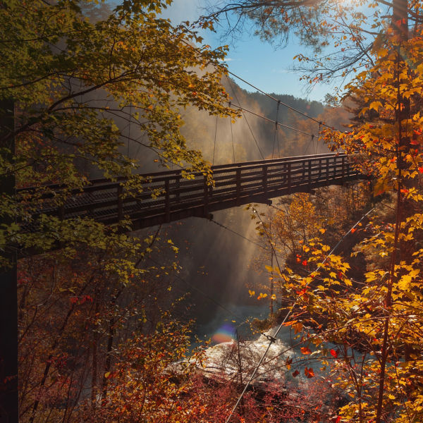
The Upper Ocoee is a 3.4-mile, Class III-IV stretch that drops 50 feet per mile and culminates with the 1996 Olympic Course section. For experienced paddlers only (unless you go guided), it starts with a tree-lined Class II section, one of the prettiest stretches of the entire river, before you hit the first named rapid, David’s Pride, and its right-side counterpart, Tombstone, named for a large, aptly named rock. Just below is Dee Dee’s Secret, one of the section’s best surfing waves, and the Class II-III action continues until you reach Class IV Alien Boof, a 6-foot ledge drop (note: scout before running), or slightly easier Mikey’s rapid to the left. A large suspension bridge marks the start of the Olympic Course, whose first drop is called Best Ledge (look for a large tongue on river-right). Next up come Class IV Smiley Face and Slam Dunk, together the biggest drop on the course, before the takeout above the #2 Dam. The Upper Ocoee has water releases on weekends through the summer (see dates below).

Lower/Middle Ocoee (#2 Dam to #2 Powerhouse/Lower Whitewater Section).

With nearly 20 Class III-IV rapids in just 5.5 miles, the Middle Ocoee is one of the most popular whitewater trips in the world. With the section’s top portion (from its put-in at the base of the dam to the Doldrums) slightly harder than the lower portion (Doldrums to the lake), many first-timers opt to launch halfway down at Goforth Creek before attempting the full run. 

The section’s first rapid, Grumpy, comes quickly after you put in, without much time to warm-up. Next comes Gonzo Shoals (hint: stay away from rafts as they often get stuck here) and, shortly later, Broken Nose, a Class III+ rapid that can’t be seen from the road, making scouting difficult (watch out for a powerful hole at the bottom). Up next is Moonshot and a Class III ledge called Double Suck (eco note: look for a metal plate on its rock outcropping, highlighting a nearly extinct plant, Ruth’s Golden Aster, that grows there). Then brace yourself for Double Trouble, whose two large waves have been known to flip rafts. Following that is a milder, half-mile stretch of Class II known as the Doldrums offering a quick breather before the action picks up again with Class III Tablesaw, named for a large rock once perched in the middle that sent up a giant roostertail. Diamond Splitter comes next, followed by Accelerator and Cat’s Pajamas, before the Powerhouse and bridge signal that you’re arriving at Hell Hole: the Ocoee's most famous rapid and site of the inaugural 1993 World Rodeo Championships (watch for kayakers playing). The last rapid is Powerhouse, with a large hole at the bottom left. The takeout is about three-quarters of a mile down on the right. More info: americanwhitewater.org

Put-in/Takeout

U.S.-64 closely follows the entire length of the Middle Ocoee, making access and road-scouting easy. Launch at the free, public parking area at the base of the Ocoee No. 2 dam, a river-wide, 30-foot-tall earthen blockade that carries the entire river down its face during water releases. The put-in for this Middle section is 2.5 hours north from Atlanta, passing through Ducktown, Tenn., 9 miles east of the put-in; or, it’s a 90-minute drive east from Chattanooga, which passes through the town of Ocoee, Tenn. (17 miles west of the put-in), where a host of outfitters are also based. 

River Levels

A normal summertime release on the Middle Ocoee is 1,250 cfs (it rarely drops below 1,000); occasionally, it might reach 1,500 cfs, especially when the Upper is running. 

The Upper Ocoee runs on weekends only from May 7 to Sept. 10. The Middle Ocoee runs on weekends from March 19 to May 29 (plus Memorial Day), and every day except for Tuesday and Wednesday from June 2 to Sept. 5; then on weekends only from Sept. 10 to Oct. 30 (with a full week from Sept. 25 to Oct. 2). Check the complete schedule of water releases before you plan a trip. 

Camping 

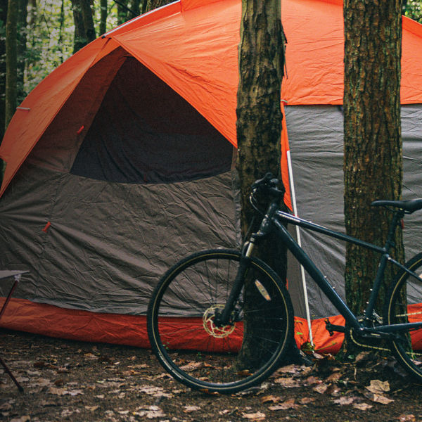
Thunder Rock is the closest campground, located behind the Powerhouse a few miles above the put-in. It’s convenient to both sections, offers nice amenities, and is $10 per site per night. More info: fs.usda.gov

Refresh & Refuel 

A bevy of restaurants exist in the gorge, with favorites including Rod’s Rocking Rolls in Ducktown; and Aubrey’s in nearby Cleveland (just west of Ocoee, Tenn). 

All articles are for general informational purposes.  Each individual’s needs, preferences, goals and abilities may vary.  Be sure to obtain all appropriate training, expert supervision and/or medical advice before engaging in strenuous or potentially hazardous activity.

MORE STORIES