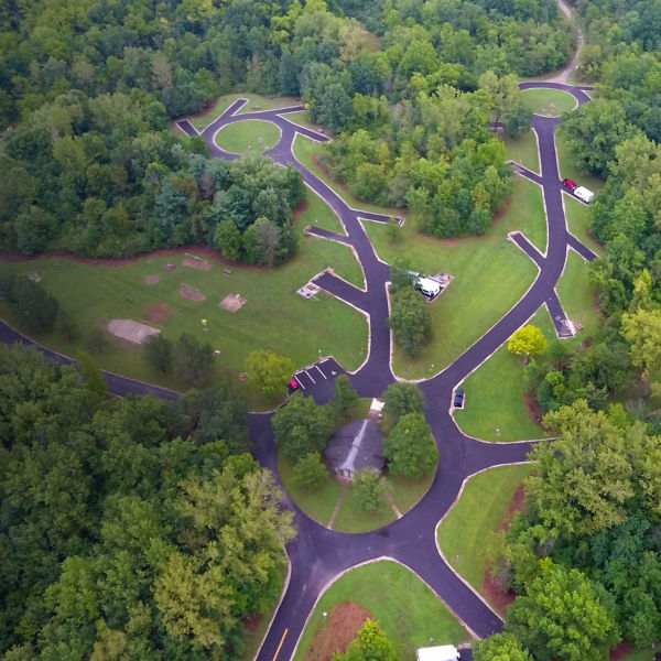
A paddling drop in spot at Sycamore Run Park

Paddling Ohio’s Olentangy River

Photo: Preservation Parks of Delaware County

Float a state-designated scenic river just north of Columbus.

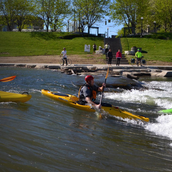
The Olentangy River Water Trail goes through the heart of Columbus, and it is a worthwhile outing—running nearly 9 miles through historic neighborhoods, numerous parks and The Ohio State University campus, south to its downton confluence with the Scioto River. But new infrastructure makes paddling the Olentangy north of Columbus just as easy and certainly more scenic. On a spring or early summer day, enjoy a chill kayak or canoe tour on this state-designated scenic river. 

Recommended Route: Sycamore Run to Highbanks

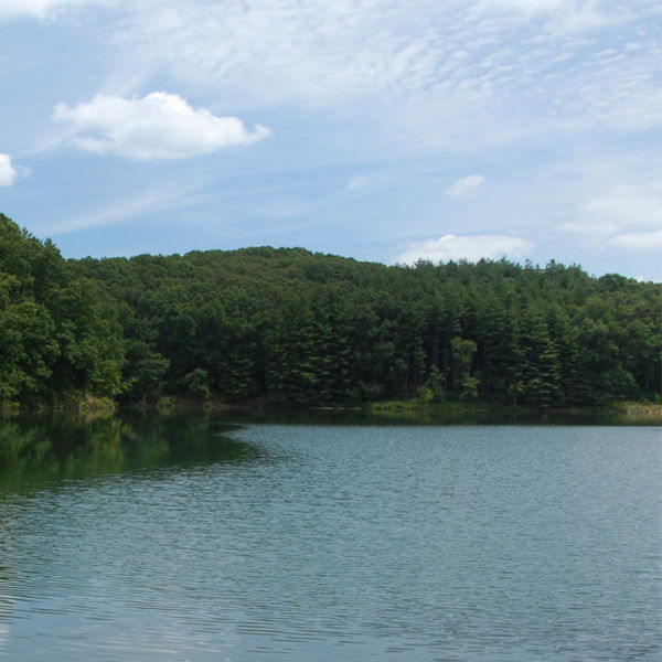
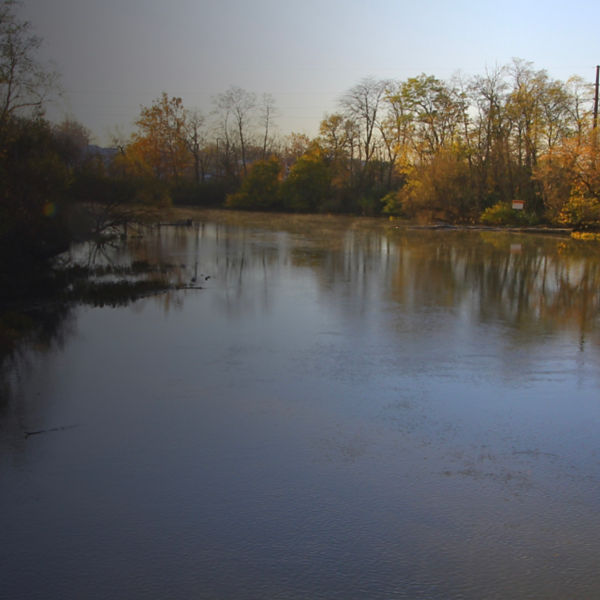
Try the 4.4-mile section of river between Sycamore Run Park in Delaware and Highbanks Metro Park. Though parts of this stretch parallel state Route 315 where you can hear traffic, much of this float feels remote. Put in at the 22-acre Sycamore Run Park in Delaware—pretty much the only thing you can do in this sliver of a park is launch onto the Olentangy or birdwatch. Keep your eyes peeled for sparrows and finches. It’s just a few steps to the river from the gravel parking lot, and Sycamore Run is the right name for the section that begins beneath towering, white-barked sycamore trees.

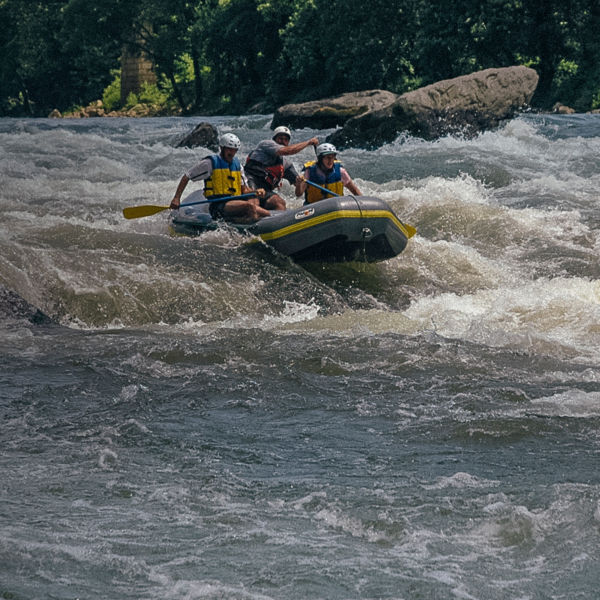
The river soon narrows, creating a stronger flow. The Olentangy is usually Class I, but when water levels rise, it can quickly turn into a more technical, intermediate Class II or III river. Check the USGS gauge and call the parks on either end to find out if it’s a good and safe day to go out, then plan accordingly and paddle prepared. This is a narrow river, so while you’re at it, ask if there are any downed trees or other blockages.

A kayak on the shore of the river at Sycamore Run Park. Photo: Preservation Parks of Delaware County

You’ll definitely encounter wildlife on your float; there’s a good chance you’ll see birds like great blue herons, plus turtles and white-tailed deer. But this route saves the best for last. Enter Highbanks Metro Park and paddle by consistent views of the shale banks that give this park its name, up to 100 feet tall in some places. Stay alert for the bald eagles nesting; floating silently from river-level is your best bet to spot one here.

Highbanks has an official canoe access site toward the southern end of the park at the River Bluffs area. Take out here to get the most out of the Highbanks experience, though that includes a long (approximately quarter-mile) haul uphill to the parking lot. If you’re not up for a carry that long, take out upstream in Highbanks, river-left, at the Scenic River Trail near the Big Meadows Picnic Area. Most of Highbanks Metro Park lies on this (east) side of the river that’s home to more than 13 miles of hiking trails and a nature center.

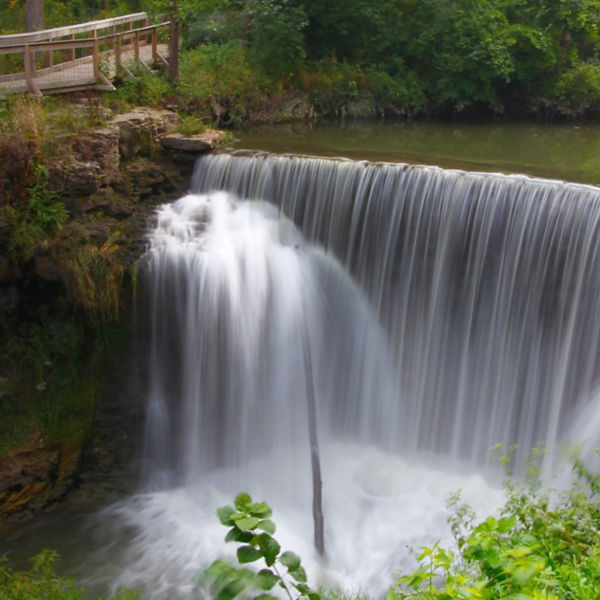
There are dams on the Olentangy, so be careful to avoid these hazards by putting in and taking out at the appropriate access points. More info: metroparks.net  

Getting There

The Sycamore Park put-in is located at 7341 Olentangy River Road (18 miles north of downtown Columbus on OH-315). The Highbanks River Bluffs takeout is at 8400 Olentangy River Road.

Refresh & Refuel

The Hills Market is just a few minutes from the takeout. It has a deli, salad bar, a wide alcohol selection and outdoor seating. It sources much of its food locally and from Ohio. And right out back is the Olentangy River and the 13-mile Olentangy Trail. Some boaters use this as an unofficial takeout spot.  

All articles are for general informational purposes.  Each individual’s needs, preferences, goals and abilities may vary.  Be sure to obtain all appropriate training, expert supervision and/or medical advice before engaging in strenuous or potentially hazardous activity.

MORE STORIES