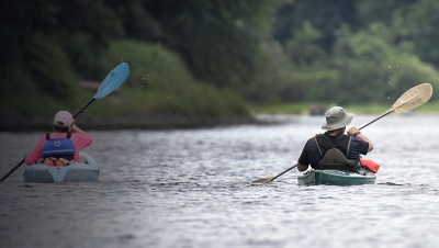
Grab a canoe, kayak, or standup paddleboard and set off down one of the most scenic big rivers within a commuter’s drive of New York. The Delaware River is the perfect place to take a day-trip or make your first foray into overnight river excursions.
The 330-mile Delaware River is the longest free-flowing river east of the Mississippi. Its paddling jewel is the 40-mile stretch of the Middle Delaware, passing through the Delaware Water Gap National Recreation Area, just an hour west of New York City. The 70,000-acre park was once slated to be inundated under the Tocks Island Dam. Fortunately for recreational users and environmentalists today, the hydro-project was scrapped. Instead, hikers can enjoy waterfall views, and cyclists and runners can follow paths along the Delaware. Best of all, paddlers can take in the big river by floating its free-flowing waters.
Recommended Route
The 10-mile stretch from Bushkill to Smithfield Beach is a classic day-trip on the Middle Delaware River.
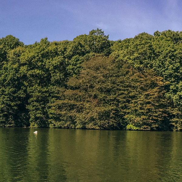
Shortly after leaving Bushkill, Pa., the Delaware enters one of its least developed corridors, Walpack Bend. The river makes a large, oxbow-like turn away from the nearby roads as it carves a path between the Kittatinny Ridge in New Jersey and the flank of the Pocono Plateau in Pennsylvania. Just how wild is this stretch? Paddlers are likely to spot bald eagles swooping down on susceptible fish—enjoying the meal in the tree branches overhanging the river—or even black bears scurrying off into the brush.
This section of the Delaware has a bit of everything. The small, Class I rapids are doable by all experience levels at moderate river levels. Long, calm pools offer swimming on a summer day. You’ll pass beaches, small rock outcrops, and islands to explore. There are also plenty of eddies to stop in and cast a line. On dry, sunny days, the river is remarkably clear; with over 6 feet of visibility, you can watch long grass swaying beneath the surface as you peer over the edge of your canoe or SUP. Grab a set of goggles and dive in among the smallmouth bass and freshwater mussels.
After the large, egg-shaped Poxono Island, the river straightens through a long flat stretch. From here, it’s 1.5 miles to the large boat site at Smithfield Beach, one of the most popular spots in the park. Continue just past the motor boat ramp (on river-right) to the small kayak and canoe launch where you’ll take out.
Those looking for an overnight option can start another 10 miles upstream at Dingman’s Ferry, Pa., and stretch out their time on the Delaware. Dingman’s Ferry to Smithfield makes for a 20-mile overnight paddling trip that is manageable over two days. In addition, there are 62 primitive riverside campsites available to paddlers within the national recreation area. These campsites operate on a hybrid zonal reservation system—you secure a permit within a section of river to camp, then the sites within that zone are first-come, first-served for permitted paddlers. The National Park Service has more information on the camping system and a map of primitive campsites.
