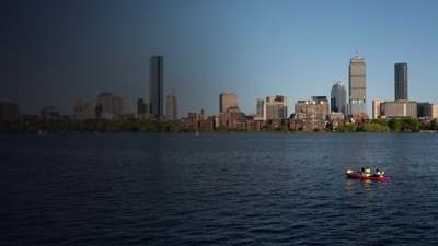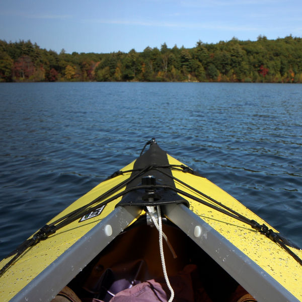
Flowing 80 miles from Echo Lake in Hopkinton, Mass., northeast to the Atlantic waters of Boston Harbor, the Charles River is a true Boston-area asset. With mild current and a meandering course, it’s a paddling favorite that caters to crafts of every kind, from canoes and touring kayaks to SUPs and rowing shells. Coursing through 23 different communities and 33 lakes, the Charles offers plenty to paddle—notably the Lakes District, a 6-mile stretch above the Moody Street Dam in Waltham that’s a haven for canoeists; or miles of forested, uninterrupted river above the Silk Mill Dam in Newton—before working its way to Boston proper. There, it marks the city’s northern boundary, providing one of the most scenic sections of urban river in the country. And while it might have a history of past pollution, recent remediation efforts have greatly improved its water quality—all just a baseball’s throw away from Fenway Park.
The flip-side of such an incredible escape from the noise and bustle of the city is that the Lower Charles—defined as the section from the dam in Watertown to the brackish waters of Boston Harbor—is one of the world’s busiest recreational river sections. As paddling’s popularity has increased, you might have to dodge (depending on the time and location) everything from sailors and rowers to aquatic “duck boat” tour buses. Still, the company on the water is worth the access and scenery. Many consider the Lower Charles the waterway’s best option for paddling. Here, the river has little current, meaning no shuttle; simply paddle back to where you started.
Paddling the Lower Charles
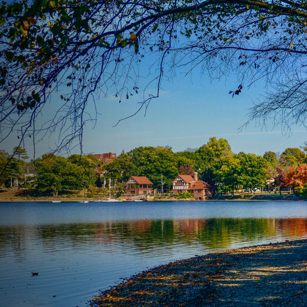
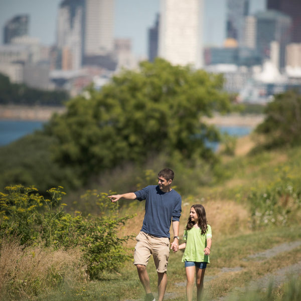
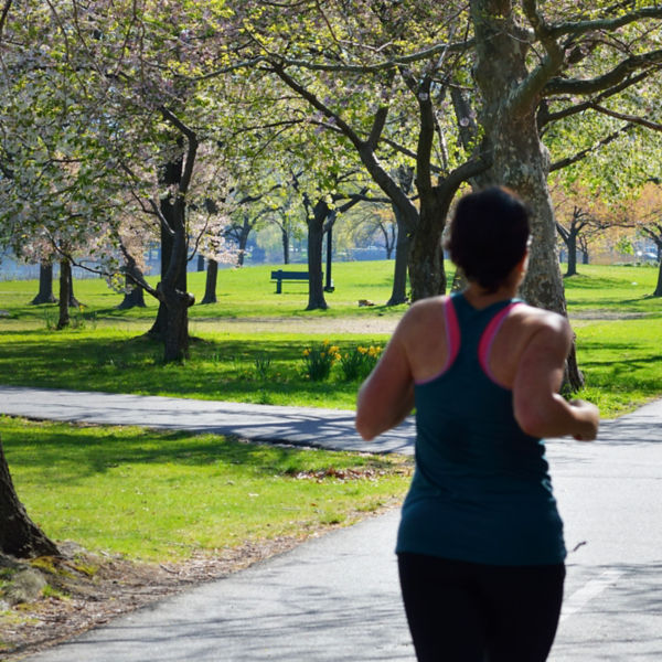
Bordering Boston to south and Watertown then Cambridge to the north, the Lower Charles is also flanked by a ribbon of parkland: the Charles River Reservation, administered by the Dept. of Conservation and Recreation (DCR), which includes the Esplanade greenspace that parallels the south bank of the river’s Lower Basin section with hiking and biking paths. (The reservation also extends approx. 10 miles upriver from the Watertown Dam to Riverdale Park in West Roxbury/Dedham.) Lined with boat houses for rowing and sailing, as well as additional riverside parks and paths, outdoor opportunities are packed along the 9.5-mile flatwater stretch of the Lower Charles, defined by four major sections: the quieter and narrower Upper Basin from the Watertown Dam downriver to Herter Park; the Middle Basin from Herter Park to the Boston University Bridge; the Lower Basin from there down to Science Park; and the New Charles River Basin from Science Park to the Charles River (Gridley) Locks.
