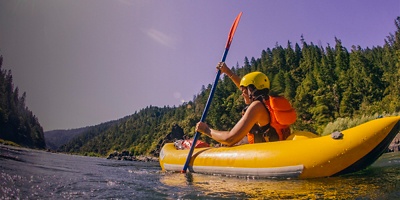
White water rafting along the "Wild and Scenic" Rogue River in southern Oregon.

A Paddler’s Guide to the Rogue River

Photo: Justin Bailie/TandemStock

Explore one of the country’s premier Wild & Scenic rivers.

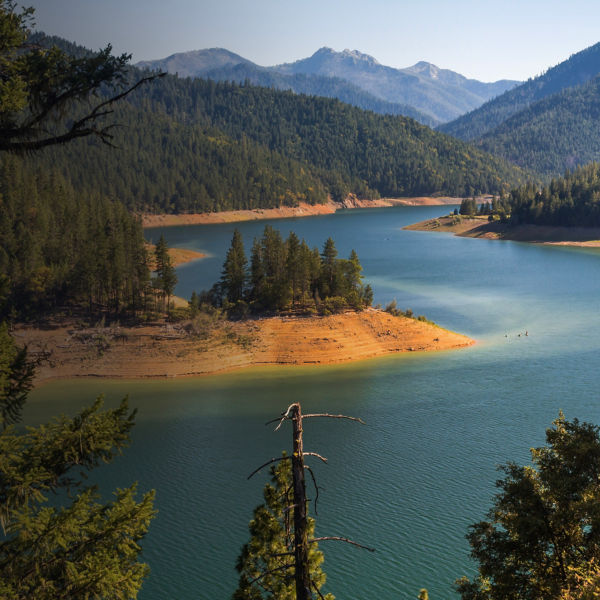
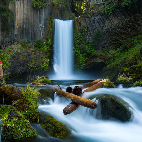
Hollywood has made a habit of turning to southwest Oregon’s Rogue River for a stunningly scenic backdrop. When movies like Meryl Streep’s The River Wild or John Wayne’s Rooster Cogburn need a river with sparkling clear water, salmon runs, towering canyons, lush foliage and cascading waterfalls, the Rogue delivers. These pristine attributes combined with the Rogue’s characteristic variety—boasting both world-class whitewater sections and mellower, family-friendly floats—make it a sought-after destination for rafting, kayaking and inflatable kayaking as well.   

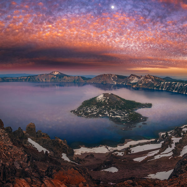
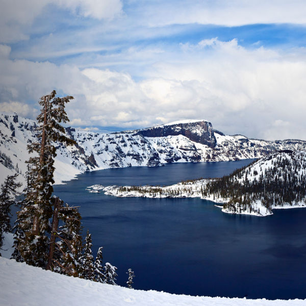
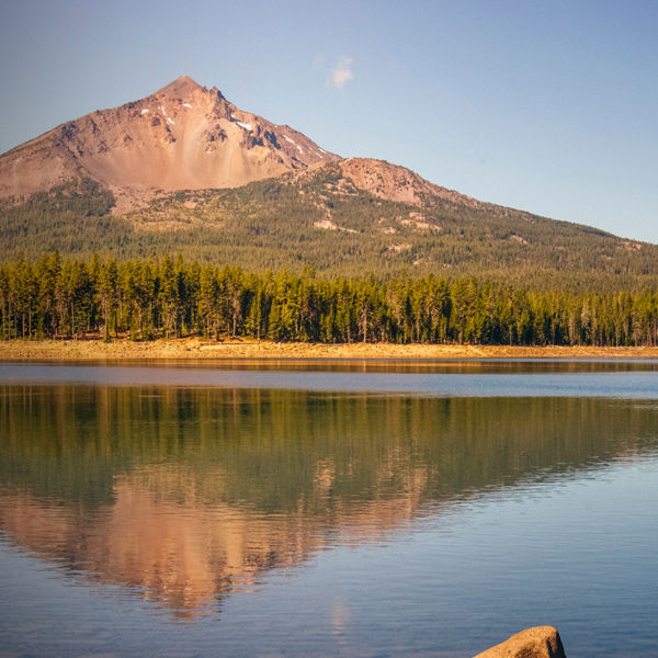
One of the original eight rivers named in the Wild and Scenic Rivers Act of 1968, the Rogue flows westward for about 215 miles from its headwaters near Crater Lake in the Cascade Range through a series of mountains and valleys before reaching the Pacific Ocean at the town of Gold Beach. Its 124 miles of federally designated Wild and Scenic River begin at its confluence with the Applegate River west of Grants Pass, where the river veers north, flowing through rugged Hellgate Canyon. It the turns west at Grave Creek, where the Wild section begins as its cuts through the northern Klamath Mountains. Wherever you go, expect a refreshing time out on the water and some of the best scenery and wildlife—from bears and turtles to eagles, osprey and even newts—of any river in the country.  

Upper Stretches

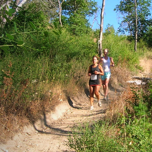
The upper reaches of the Rogue, between Grants Pass and the Grave Creek put-in for the multi-day section, don’t require any permits and offer numerous put-ins and takeouts for sections ranging from Class II-III Hellgate Canyon and milder sections suitable for inflatable kayaks. Put-in/takeout options for everything from half- to full-day trips include Robertson Bridge County Park, Hog Creek County Park, Indian Mary Park, Rand Recreation Area, Alameda County Park, Argo Bar and more. For accommodations, try riverside Galice Resort, operated by the Thomason Family for 42 years and offering historic cabins, bunkhouses, cottages, and guest houses. To take your adventure up a notch, use an outfitter to raft the Nugget or “City” section, near Interstate 5 in the Rogue Valley at Gold Hill, featuring two splashy Class IV rapids.  

Rafting on the Wild and Scenic Rogue River in Oregon. Photo: Ben York/TandemStock

Middle Section

The Rogue’s 34-mile Wild section is its crown jewel, making a world-class three- to five-day raft trip for experienced floaters (or relax in good hands, and let them do the cooking, with an outfitter). The trip features predominantly Class II-III rapids, save for rowdy Rainie Falls (Class V), which most people portage (or line their rafts) around, and boulder-strewn, Class IV Blossom Bar rapid. Also expect splashy Class III-IV whitewater in Mule Creek Canyon, before you enter Rogue River-Siskiyou National Forest. From there, the river slows in Huggins and Clayhill canyons before you reach your takeout at Foster Bar.  

Permit Requirements

Want to go on your own? Use of the 34-mile Wild section of the Rogue River is regulated each year, from May 15 through Oct. 15, to protect the river corridor from overuse and to provide a wild river experience. During this time, 120 commercial and noncommercial users may obtain special-use permits to enter the Wild section each day. Permits for this regulated use period are allocated through a computerized lottery, whose application period is from Dec. 1 through Jan. 31. From April 1 through October 14, any leftover available permits are distributed through a first-come/first-served telephone process. Info: or.blm.gov/rogueriver  

Lower River

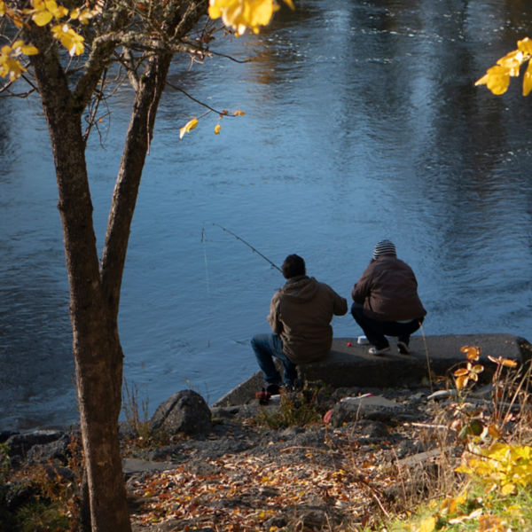
No permits are required to paddle the Rogue River below Foster Bar. With the takeout elevation at Foster Bar only 150 feet, the river meanders its last 30 miles along Hwy. 35/Agness Road past the town of Agness and its junction with the Illinois River. At Agness Bar, the river leaves the road and flows through scenic Copper Canyon for 12 miles to Quasatana Campground, making for a great flatwater float (tip: there’s no river access from the road for 12 miles, so plan accordingly). Below Copper Canyon, the river widens and slows, with the Wild and Scenic designation ending where Lobster Creek enters the river and Lobster Creek Campground. Below Lobster Creek, you can access the river via numerous roadside gravel bars, offering easy put-ins/takeouts. Paddlers also frequently embark on out-and-back excursions in the river’s estuary near Gold Beach, where the tide often extends about 4 miles upriver. To avoid upriver afternoon winds and summer heat, many paddlers opt for sunset paddles. 


All articles are for general informational purposes.  Each individual’s needs, preferences, goals and abilities may vary.  Be sure to obtain all appropriate training, expert supervision and/or medical advice before engaging in strenuous or potentially hazardous activity.

MORE STORIES