Recommended Run
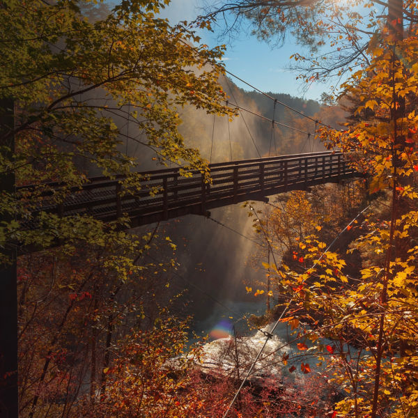
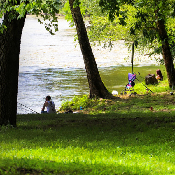
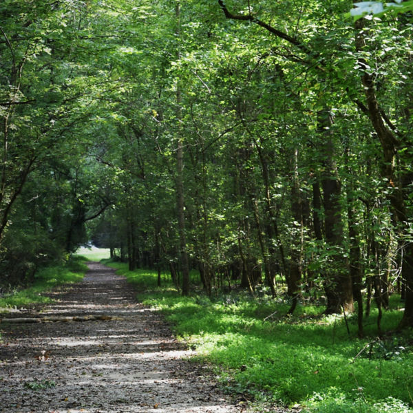
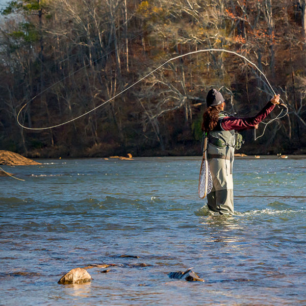
Start with the Cochran Shoals Fitness Loop, a 3.1-mile-wide, pea-gravel path that forms a lollipop loop through surprisingly diverse terrain. The first half follows the western bank of the Chattahoochee River with constant views of the shoals that the park is named for. Then as it traverses grasslands and marsh, you’ll cross creeks on bridges and see waterfowl patrolling the skies. Mile markers every .25 miles plus the relatively flat elevation profile make this a good place to focus on speed work—the trail sees a lot of runners training for local races like the Peachtree Road Race.
There are plenty of options if you want to extend your run, just stay alert as the singletrack branching off of the main fitness loop is popular with mountain bikers as well as runners. At 1.75 miles, toward the far end of your loop, you can take a connecting trail into the system of singletrack that explores the ruins of a Civil War-era paper mill and cemetery in the Sope Creek Unit of the Chattahoochee River National Recreation Area. Keep in mind, the terrain inside the Sope Creek Unit is more challenging with quick elevation changes and root gardens to navigate. Plus, you’ll be setting out for an 8.5-mile adventure. More info: atlantatrails.com
Getting There
Most runners who focus on the pea-gravel Cochran Shoals Fitness Loop start at the Interstate North Parkway Trailhead, near I-285 and I-75. From Kennesaw, follow I-75 south to Windy Hill Road. Head southeast on Windy Hill Road, then south of Powers Ferry to Eugene Gunby Road. There’s a $5 parking fee at the trailhead (located at 1956 Eugene Gunby Rd. / Marietta, GA 30067).
Refresh & Refuel
You’re in Metro Atlanta, so you have every chain restaurant at your fingertips, but skip the usual haunts and opt for Heirloom Market BBQ, which blends classic Southern comfort food with a touch of Korean influence. Try the spicy Korean pork sandwich, or go all-in with a pound of wings. And it’s less than a mile from the Cochran Shoals trailhead.
More Info
Visit the Chattahoochee River National Recreation Site to download trail maps and learn about trail closures: nps.gov
