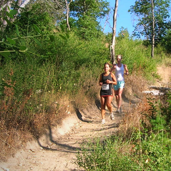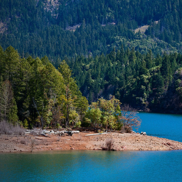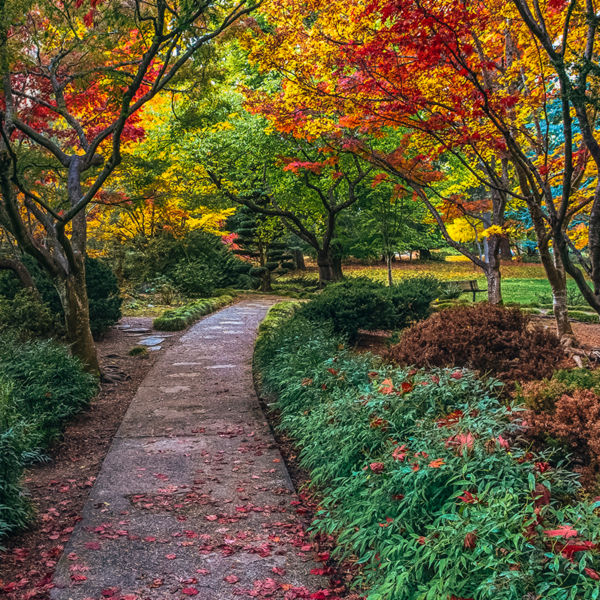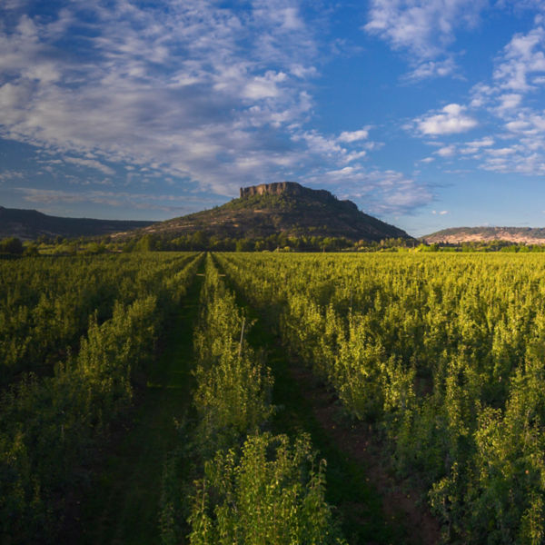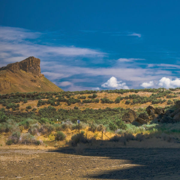
From the summit of Roxy Ann Peak, you can see for miles. This 3,576-foot-tall volcanic butte in Oregon’s Western Cascades is the main feature of Medford’s 1,700-acre Prescott Park, and a short drive from downtown. There are few such panoramic summits that are as attainable for runners. Prescott Park has over 15 miles of trails for running, hiking, mountain biking, and horseback riding. Though the trails are technically welcome to all users, some are recommended for specific user groups to minimize conflict.
As a prominent geographic feature in the Rogue Valley, the site was historically enjoyed by the Latgawa people who first inhabited the area nearly 10,000 years ago. More recently, Roxy Ann Peak was named after an early European settler who arrived on the 1853 Missouri-Oregon wagon train. The City of Medford was established in 1883, and in the early 1930s the city acquired land for the park from the federal government. Designed by the National Park Service, the original access roads, trails, and picnic areas were built by the Civilian Conservation Corps (the park named after a local policeman who was killed while on duty). Over the following decades, the park fell into disrepair—most of the original features are now just remnants. In the last 10 years, Medford has invested heavily into trail development and improved access, significantly increasing the park’s popularity.
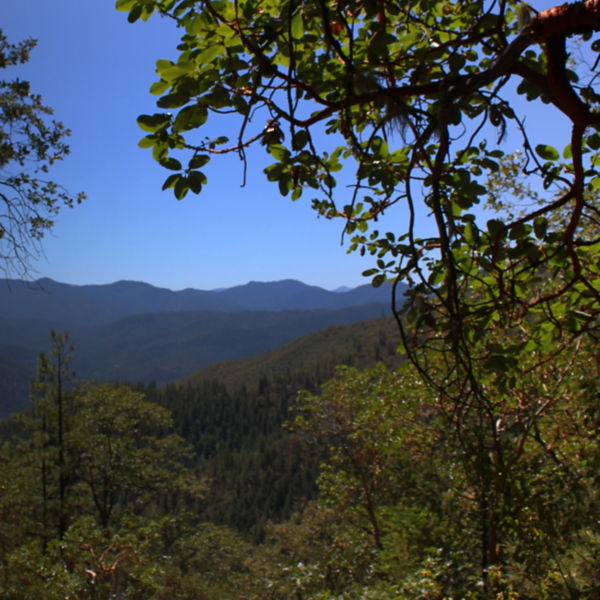
Runners can enjoy a variety of routes throughout the park, including a soft-surface road that circumnavigates the peak and ascends to the summit. Trails traverse a variety of native Southern Oregon landscapes, including oak savannah, madrone woodlands, and coniferous forests, most all of which are heavily interspersed with poison oak shrubs. Wildflowers and wildlife abound; keep an eye out for pileated woodpeckers, great horned owls, plenty of deer, and the occasional rattlesnake.
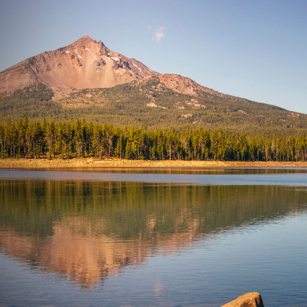
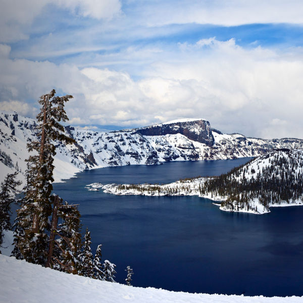
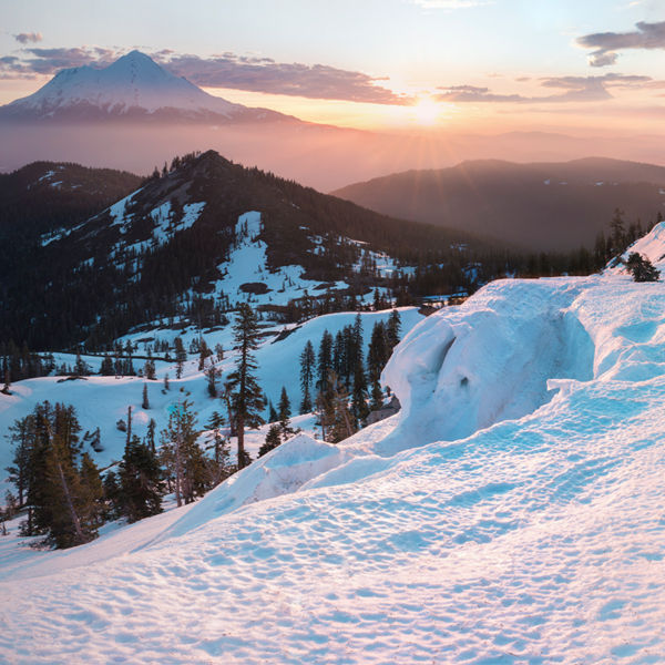
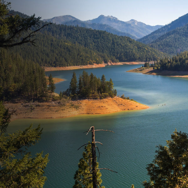
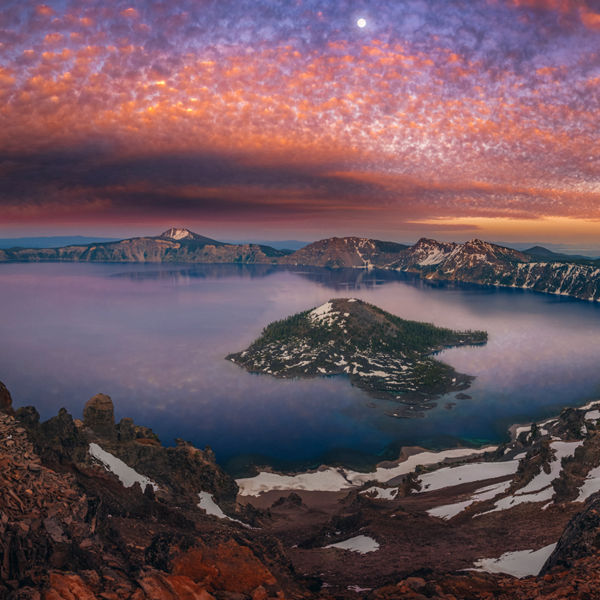
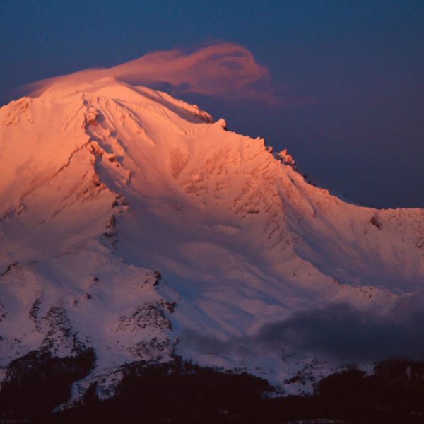
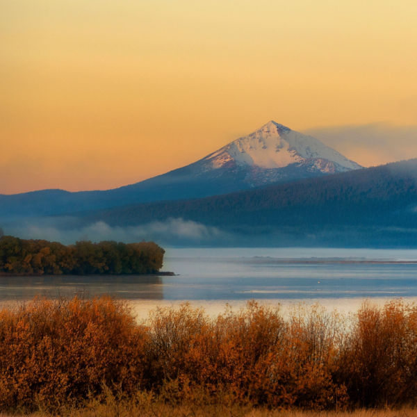
Looking north about the park, one can view the majestic Mount McLoughlin, Crater Lake rim, and the needle-nosed Mount Thielsen, as well as the Rogue River winding through the Upper and Lower Table Rock Plateau Nature Reserves. To the south, you see the communities of Medford, Phoenix, and Talent along Bear Creek, with Wagner Butte, Mount Ashland, and Pilot Rock marking the Siskiyou Crest. In short, explains Rich Rosenthal, the City of Medford’s Parks, Recreation and Facilities Director, it’s a special place, notably because “few public parks with well-developed trail systems are in such close proximity to the majority of city residents.” Rosenthal adds that the ultimate payoff is the perspective gained: seeing the peak of Mount Shasta in northern California all the way to the Three Sisters in central Oregon. “The views are absolutely phenomenal,” he adds, “and it’s only 15 minutes from downtown Medford.”


