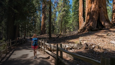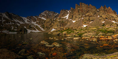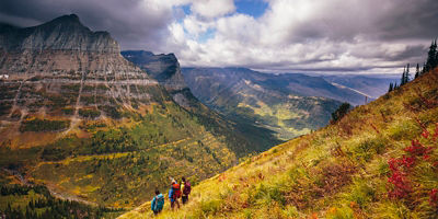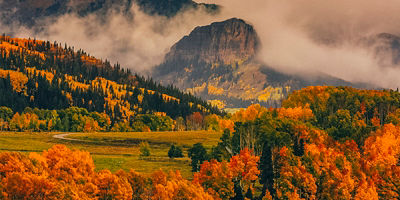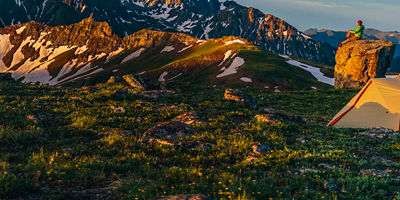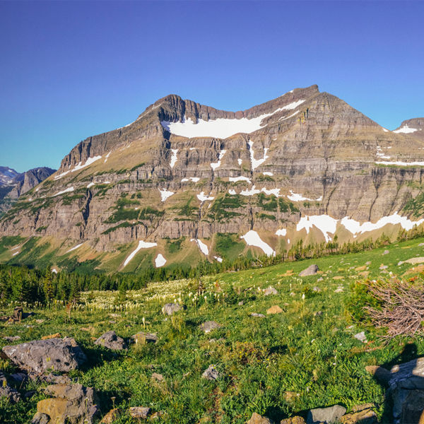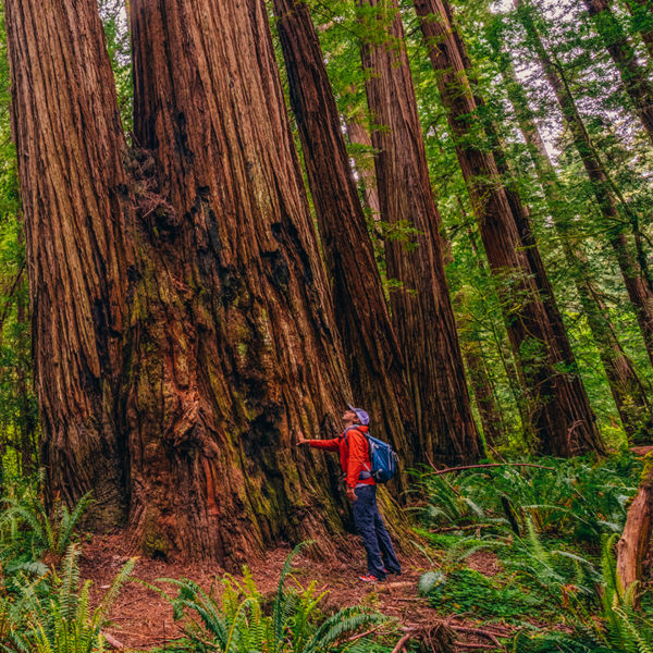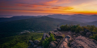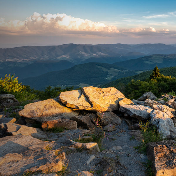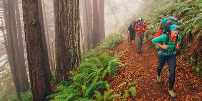
“Don’t forget to look up!” is sage advice for anyone visiting Sequoia and Kings Canyon National Park. The reason? Located in the Sierra Nevada south of Yosemite National Park, this jointly administered park is home to some of the biggest, oldest trees in the world. But gazing up at the park’s namesake sequoias isn’t the only reason you might head home with a sore neck. Here, towering trees, canyon walls, and granite peaks all give you renewed respect for what Mother Nature can accomplish when left to her own accord. With almost 900,000 acres between them, Sequoia and Kings Canyon’s borders are as expansive as their views. They’re also filled with more than 1,000 miles of trails for hiking, as well as countless campgrounds and lodges for extending your stay.
History
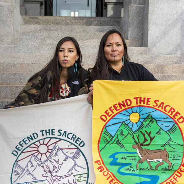
Before Europeans and Americans “discovered” the region, today’s Sequoia and Kings Canyon national parks were the historic homeland of the Mono (Monache), Yokuts, Tübatulabal, Paiute, and Western Shoshone people, who lived in the region for hundreds of years. (They called its giant trees Wawona and considered them sacred.)
Sequoia National Park is the second-oldest national park in the country. For that, we can thank naturalist John Muir, who first visited the area in 1875. “The clearest way into the Universe is through a forest,” he scribed after visiting. His jottings stirred both the nation and the government to take note. In 1890, President Harrison signed legislation establishing Sequoia, along with Yosemite, as America's second and third national parks (following Yellowstone in 1872). With early access limited to a pack road, the building of the Generals Highway in 1926 opened it up to increased visitation—including a tree tunnel early automobiles could drive through. Other improvements included carving steps to the summit of Moro Rock and, in 1932, the completion of the High Sierra Trail connecting the Giant Forest and Mount Whitney, the highest point in the contiguous U.S.
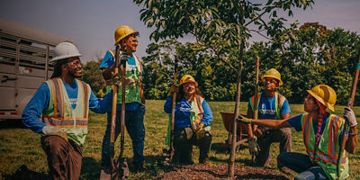
During the Great Depression, the Civilian Conservation Corps further improved the park’s campgrounds, trails, and buildings. Then, in 1940, Kings Canyon was added as an adjacent national park. Both parks now encompass 1,353 square miles, of which 97 percent is designated and managed as wilderness. Together, the parks see more than 1.5 million visitors every year.
Getting There
If you’re coming from the south, access the park via the 87-year-old Generals Highway (state Route 198). This road climbs a series of steep switchbacks up the Sierra foothills just after crossing the Kaweah River. On the way, you’ll start seeing your first sequoias—just one or two at first, and then groves of the gargantuan beasts.
From the north via Fresno, you’ll pass Grant Grove (CA-180) and then turn onto the Kings Canyon Scenic Byway. From here, you can either turn left to enter Kings Canyon or head south to reach Sequoia.
Best Scenic Drives
Even though these two parks were created early in America’s history, planners had the foresight to create classic scenic drives through both. In Sequoia, you’ll find the 32.5-mile Generals Highway. Kings Canyon boasts its 50-mile Kings Canyon Scenic Byway.
Generals Highway
This scenic byway connects the two parks and their much-ballyhooed giant sequoia groves. Popular hiking trailheads are located at select turnouts along the way, as are overlooks to rocky ridges and sequoia groves.
Kings Canyon Scenic Byway
The Kings Canyon Scenic Byway (CA-180) winds through layers of rock and sky straight down into Kings Canyon. Traversing one of the most extraordinary cross-sections of geography in the country, the road offers more and more stunning views as you progress. Some of the must-see scenic pullouts include Junction View, Yucca Point, Grizzly Falls, Don Cecil View, Hotel Creek Overlook, Canyon View, and Roaring River Falls.
Panoramic Point Road
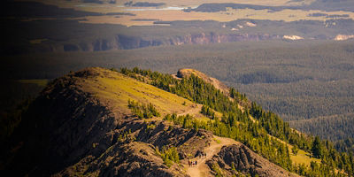
Just a 2-mile drive east of the Kings Canyon Visitor Center parking lot, Panoramic Point Road leads to a short, half-mile hiking trail to Panoramic Point Overlook, a viewing area with awe-inspiring vistas of the High Sierra and Hume Lake far below.
