Go ahead and sing it: “Oh, Shenandoah, I long to see you; Away, you rolling river…” You’ll be singing this storied river’s praises as soon as you paddle it as well; it’s just as perfect for floating as it is for a folk song tradition.
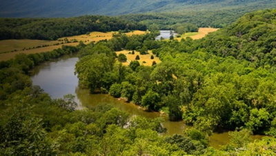
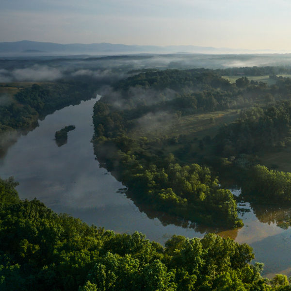
The principal tributary of the Potomac River, the Shenandoah is 55.5 miles long, with two forks that are about 100 miles long each in Virginia and West Virginia. Draining the Appalachians’ Shenandoah and Page valleys on the west side of the Blue Ridge Mountains, its multiple paddling sections cater well to beginner and intermediate paddlers for their easy flatwater, camping options and access. Pick your boat launch and trip length and start planning an on-water adventure; the region lends itself to easy, permit-free overnight options, with both private and public camping options, as well as numerous companies able to assist with shuttle services, boat rentals, and guided trip offerings. No matter how long your trip, expect outstanding scenery and wildlife (and to break out in song).
South Fork Shenandoah
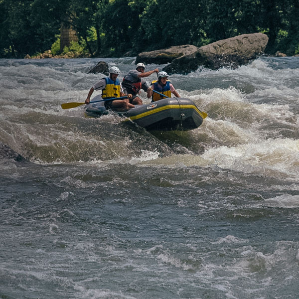
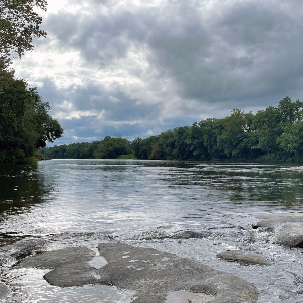
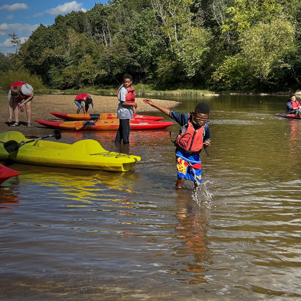
Covering 1,650 square miles, the South Fork begins at the confluence of the North and South rivers near Port Republic, Va., before flowing north 97 miles to meet the North Fork and form the Shenandoah proper at Front Royal, Va. Surrounded by George Washington National Forest to the west and Shenandoah National Park to the east, it’s a popular destination for canoeists with its low gradient serving up miles of tranquil flatwater interspersed with just enough Class I-II rapids to keep you on your toes. Note: three low-head hydropower dams exist at the Virginia towns of Shenandoah, Newport and Luray, requiring a portage around. Still, the river’s beauty and its proximity to urban areas (notably Washington, D.C., roughly an hour east) attract thousands of paddlers each year, with several canoe outfitters operating trips on various sections. It’s also a haven for tubers later in the summer. Twenty public access points along the river let you plan float trips of varying distances.
Hotspots include the Waynesboro Water Trail, a 4-mile stretch of the South Fork with easy put-in/takeout points in between for shorter trips (try starting at Ridgeview Park and paddling down to Basic Park). Also worth floating: the 3-mile stretch from Beaker’s Ferry to Foster’s, which you can add another 9 miles to by extending the trip to Burner’s Bottom (taking in the splashes of Class II Compton’s Rapid). Want to go overnight? Head down to Bentonville for a two-day trip, or all the way to Front Royal for a three-day outing, staying at cabins or camping along the way.
North Fork Shenandoah
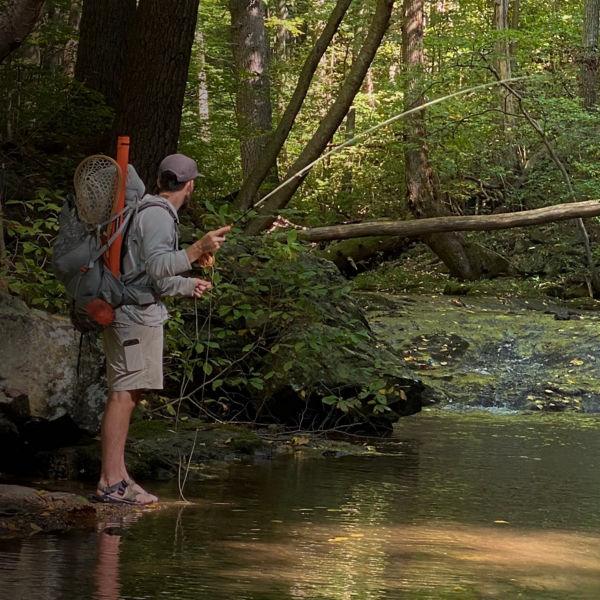
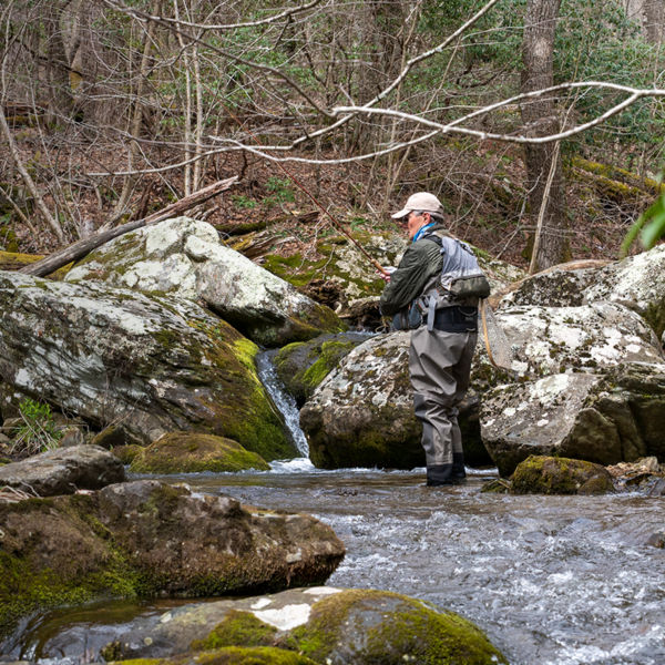
Another idyllic canoeing river, the North Fork of the Shenandoah drains 1,034 square miles of northeastern Virginia, flowing north 116 miles from northern Rockingham County to Front Royal, where it joins the South Fork to form the main stem. Littered with bedrock ledges, the “Seven Bends” section between Woodstock and Edinburg harbors especially good fishing opportunities.
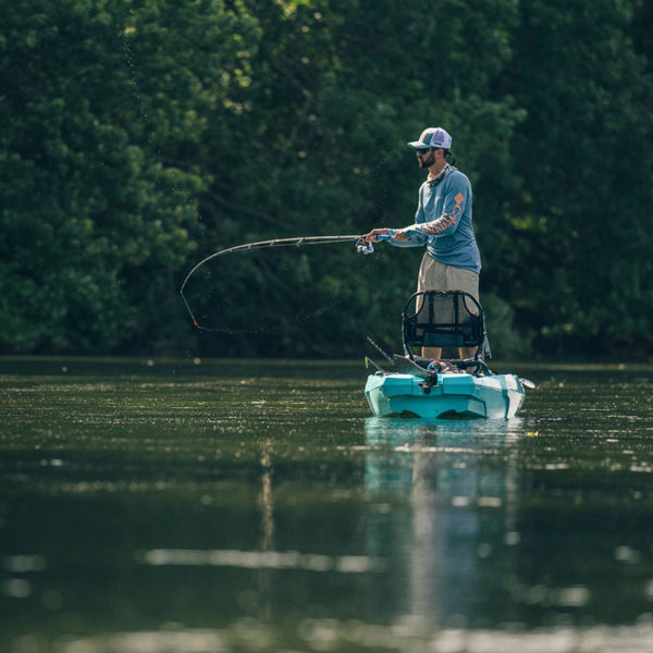
While smaller than the South Fork, the North Fork still offers excellent canoeing with clear water, scenery, wildlife and mild whitewater. (Caution: Low flows in late summer can require walking your boat through shallow areas.) Also, note the six dams along the stretch: the first upstream of Timberville; three between Edinburg and the state Route 758 bridge east of Woodstock; and two between Strasburg and Riverton. The North Fork undulates through Rockingham and Shenandoah counties, offering smooth, clear water, incredible views of Massanutten Mountain, and lots of wildlife, including many species of fish like large and smallmouth bass, channel catfish, crappie, muskie, and sunfish. Because of its abundance, the river is widely considered one of the top 10 smallmouth bass rivers in America.
