Two people run a race at Jackson Forest Park Trail

Medford’s Top 3 Trail Running Loops

Photo: Jacksonville Woodlands Association

Find a go-to loop of any distance within just 30 minutes of Medford, Oregon.

Endless forest, world-class trails, and a wide mix of elevation profiles make southern Oregon one of the best places in the country to trail run. And with so much public land within just a 40-minute drive of downtown, great routes are never far. Whether you’re a lifelong runner or just getting started, expect these three loops to become your new go-to’s.

Note: All these runs take place on the historic homelands of a number of tribes, including the Modoc, Shasta, Takelma, Cow Creek Umpqua, and others. Stay on the trails, pick up after yourself and your pets, and always treat the land with respect

Best short run: Denman Interpretive Trail (1.5 miles)

A map of the  Denman Interpretive Trail route

This 1.5-mile loop makes a great first trail run, rest-day jog, or family jaunt. Located within the Kenneth Denman Wildlife Area, the Denman Interpretive Trail loops through open meadows and wetlands along the shores of the Rogue River. Be careful not to run too quickly: As some of the best-protected habitat in the Medford area, the area is teeming with birdlife. Slow down enough to savor the scenery, and keep your eyes peeled for woodpeckers, pheasant, quail, blue herons, and osprey. 

Trail directions

Located just 15 minutes north of downtown, the Kenneth Denman Wildlife Area is basically a straight shot up the Rogue Valley Expressway (state Route 62). Peel off on Agate Road right before you hit the Crater Lake Highway, then swing left onto TouVelle Road and drive until it dead-ends into the parking area (permit required).

You can take the Denman Interpretive Trail going clockwise or counterclockwise, but consider going counterclockwise and starting along the Rogue River. Keep going straight through the first trail junction to loop through TouVelle State Recreation Site before turning south, then east, back toward TouVelle Road. 

More info

For maps, area history, and trail information, visit the Oregon Department of Fish and Wildlife website at dfw.state.or.us

Best mid-length run: Grizzly Peak Trail (5 miles)  

A map of the Grizzly Peak Trail route

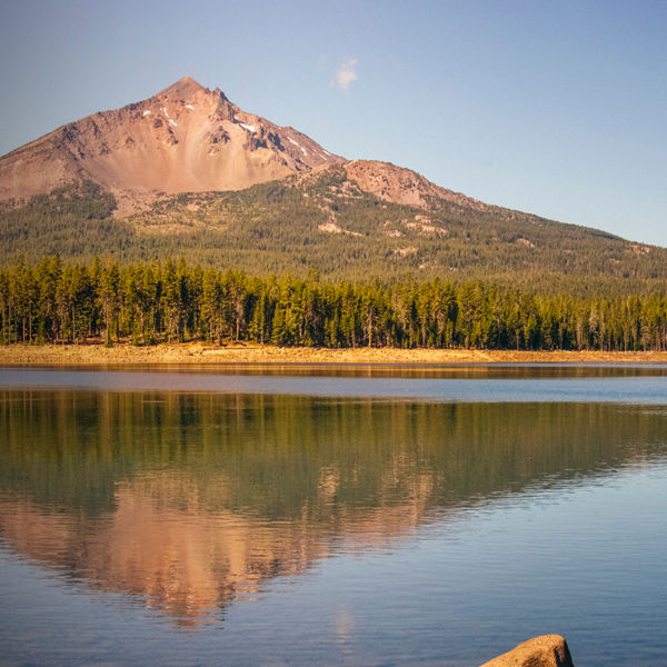
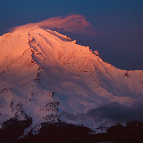
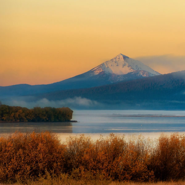
Refreshingly flat for a run of this distance, the Grizzly Peak Trail tackles just 800 feet of elevation gain across its 5 miles. Along the way, it loops through open meadows and offers spectacular views of Mount McLoughlinMount Shasta, and the Crater Lake Rim. Pro tip: Go in June, when the meadows are bright green and tiny pink and white flowers carpet the slopes. 

Trail directions

This run demands a longer commute (a 40-minute drive from Medford) but it’s well worth the drive. First head to the Grizzly Peak Trailhead east of Ashland. The road is narrow, but it’s paved up until the end. From the parking area, pick up the Grizzly Peak Trail and bear left at the first junction to follow the loop clockwise. Be sure to stop at the viewpoint around Mile 2 to soak in views sweeping south across the valley. Then, carry on clockwise, enjoying vistas of the peaks to the north, before looping back to your car. 

More info

The land beneath Grizzly Peak is maintained by the Bureau of Land Management. Get up-to-date trail info at blm.gov

Best long run: Jackson Forest Park Trail (8.5 miles) 

A map of the Jackson Forest Park Trail  route

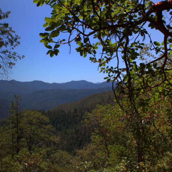
This 8.5-mile run starts with a quad-busting, switchbacked hill climb that carries you up into the hills above Jackson Creek. But once you’re up high, you stay there: A system of well-built trails contours the slopes, ferrying you past historic mining sites and scenic overlooks. Most of the terrain is rolling, with several long but consistent climbs—making it a great choice for experienced trail runners.  

Trail directions

Start at the forest’s southernmost parking area (“P-1” on some maps), and pick up the Ol’ Miner’s Trail going north. After you pass the Hydraulic Mining Site, keep bearing left to pick up the Boulder, Owl Hoot, and Shade Creek trails going west. Contour along forested hillsides on clean singletrack before crossing the road at Mile 3 and picking up Claim Jumper Trail.

From here, keep heading east along the Jackson Ridge and Canyon Falls trails to get to the Cantrall Creek Trail. Follow it north along the creek (keep an eye out for a spur trail up to a cave on your right-hand side). After about 0.7 miles, you’ll reach a complex trail intersection. Here you’ll pick up the Halls of Manzanita Trail, angling uphill across the road toward Pipessewa Peak. Continue for about 0.8 miles, then branch off left onto the Siskiyou Trail. Stay high to loop around the Jackson Reservoir before dropping back down to your car. 

More info

Find trail maps, parking instructions, and further details at jacksonvilleor.us

All articles are for general informational purposes.  Each individual’s needs, preferences, goals and abilities may vary.  Be sure to obtain all appropriate training, expert supervision and/or medical advice before engaging in strenuous or potentially hazardous activity.

MORE STORIES