A runner runs through the forest

Running Sugar Hollow

Loop from Sugar Hollow to the Appalachian Trail on one of the Blue Ridge Mountains’ finest trail-running routes.

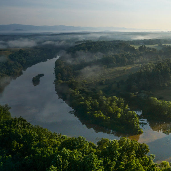
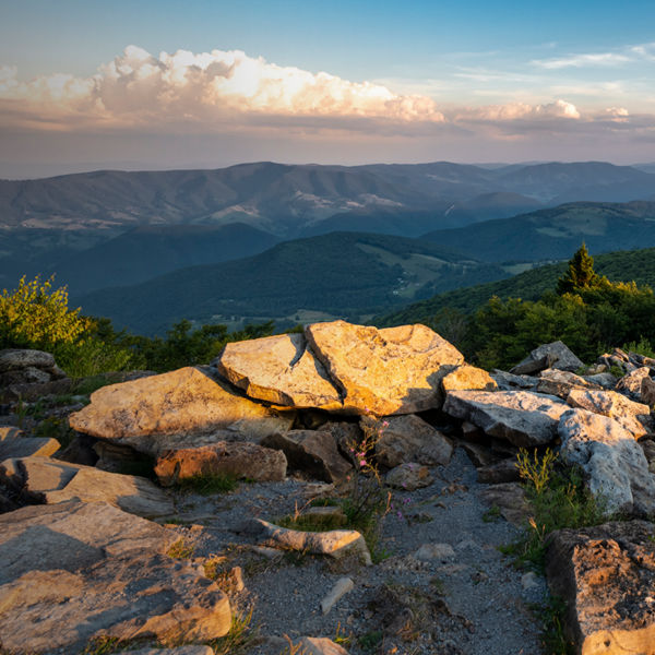
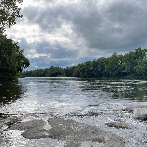
Sugar Hollow is about 35 minutes outside of Charlottesville, Va., on the edge of Shenandoah National Park, which hugs the Blue Ridge Mountains. This natural area at the range’s eastern foot, adjacent to the Sugar Hollow Reservoir, is managed by the city of Charlottesville for recreational use, offering a nice, lush locale for a long run on a hot day. Though you can’t actually swim in the reservoir (used for the city’s drinking water), multiple trail options feature frequent river crossings that provide more than enough chances to cool off and get your feet wet. And as the starting point to reach a beloved, local swimming hole known as the Blue Hole, the trails also draw non-runners, too. But trail runners in particular will enjoy training for races, logging miles on accommodating dirt with wide trails, plentiful shade and lots of vert. And beyond the trail quality and the challenge of stout elevation gain, it’s always nice to connect with and spend a little time on the Appalachian Trail

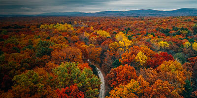
Autumn trees in first sunlight of morning along the shore of the Sugar Hollow Reservoir in central Virginia.

Recommended Route 

An 18-mile loop with about 3,300 feet of gain highlights the best of all that Sugar Hollow has to offer—river crossings, dense green forest, and singletrack—while providing  numerous options for cutting it short or making it longer. Start with singletrack on North Fork Moormans River Trail for about 6 miles. Along the way, you’ll cross numerous creeks and eventually spot some old buses on the side of the trail before intersecting with the Appalachian Trail as it parallels Skyline Drive (which runs the length of the national park). Enjoy the AT and some smooth miles to the Turk Gap parking lot. From there, look for the yellow blazes that mark the Turk Branch Trail, which intersects with the South Fork Moormans River Road that takes you back to your car. If it’s particularly hot, stop off at the Blue Hole for a dip. You’ll see the cascade-filled hole along the South Fork trail, down a steep embankment on the left side (and will probably see lots of other people heading that way), 1.5 miles from the parking area. The FKT (Fastest Known Time) on this route is 3.5 hours. 

Getting There 

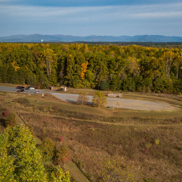
To cover the 20 miles to the Sugar Hollow trails from downtown Charlottesville, head out Garth Road to the town of White Hall, Va. Continue for 5 miles on Sugar Hollow Road, paralleling the Moormans River, to its end at the basic, limited-facility parking area (gravel, no bathroom) on the north side of the reservoir near the dam. Fed by both the North and South Forks of the Moormans River, the reservoir’s 47 acres are stocked with rainbow and brook trout (open to bank fishing only, from sunrise to sunset). More info: dwr.virginia.gov 

Refresh & Refuel 

If wine tasting after a long run is your speed, you’ll find a number of vineyards in the farmlands outside of White Hall (notably White Hall, Stinson, and Grace Estate). There aren’t many nearby food options, so consider bringing a cooler with cold drinks and a picnic to enjoy on your tailgate afterward.  

All articles are for general informational purposes.  Each individual’s needs, preferences, goals and abilities may vary.  Be sure to obtain all appropriate training, expert supervision and/or medical advice before engaging in strenuous or potentially hazardous activity.

MORE STORIES